Flounders' Folly
Map

Map

Facts and practical information
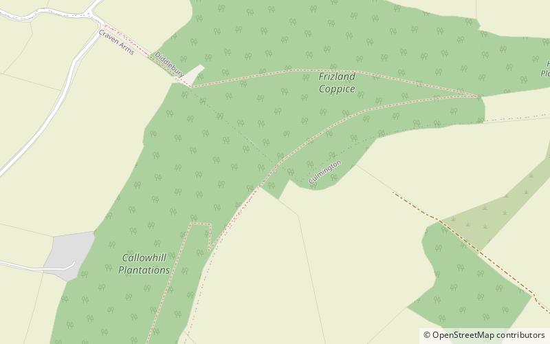
Flounders' Folly is a tower, built in 1838, on Callow Hill, near Craven Arms at the western end of Wenlock Edge in Shropshire, England. The tower is approximately 80 feet tall and 16 feet square and is clearly visible from the Cardiff–Crewe railway line, just north of Craven Arms and also from the busy A49 Shrewsbury to Hereford road. ()
Coordinates: 52°27'38"N, 2°47'43"W
Day trips
Flounders' Folly – popular in the area (distance from the attraction)
Nearby attractions include: Stokesay Castle, Corvedale Three Castles Walk, St Mary the Virgin's Church, St Laurence's Church.


