Lancashire College, Chorley
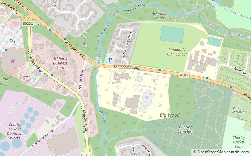
Map
Facts and practical information
Lancashire Adult Learning is an adult education college located in Lancashire, England. ()
Coordinates: 53°39'19"N, 2°39'3"W
Address
Chorley
ContactAdd
Social media
Add
Getting there by public transportation
Public transportation stops near this location
- Bus
- Train
 Bus
Bus
- Calculate routeLancashire College 2 min walk
- Calculate routeSouthport Road 6 min walk
- Calculate routeAckhurst Road 7 min walk
- Calculate routeEuxton Balshaw Lane 24 min walk
- Calculate routeChorley 26 min walk
Day trips


Frequently Asked Questions (FAQ)
Which popular attractions are close to Lancashire College?
Nearby attractions include Astley Hall, Chorley (10 min walk), Little Theatre, Chorley (19 min walk), St Laurence's Church, Chorley (20 min walk), Borough of Chorley, Chorley (21 min walk).
How to get to Lancashire College by public transport?
The nearest stations to Lancashire College:
Bus
Train
Bus
- Lancashire College • Lines: 109, 119, 337, 347 (2 min walk)
- Southport Road • Lines: 109, 119 (6 min walk)
Train
- Euxton Balshaw Lane (24 min walk)
- Chorley (26 min walk)