Borough of Chorley, Chorley

Gallery (1)
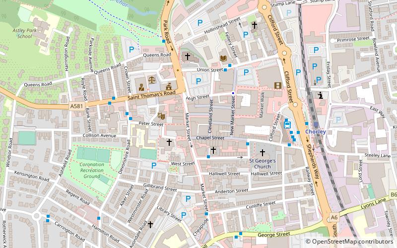
Map
Map
Facts and practical information
The Borough of Chorley is a local government district with borough status in Lancashire, England. The population of the Borough at the 2011 census was 107,155. It is named after its largest settlement, the town of Chorley. ()
Getting there by public transportation
Public transportation stops near this location
- Bus
- Train
 Bus
Bus
- Calculate routeSt Georges Street 2 min walk
- Calculate routeChurch Street 3 min walk
- Calculate routeBooths 3 min walk
- Calculate routeChorley 6 min walk
Day trips


Frequently Asked Questions (FAQ)
Which popular attractions are close to Borough of Chorley?
Nearby attractions include Little Theatre, Chorley (2 min walk), St Laurence's Church, Chorley (3 min walk), St George's Church, Chorley (3 min walk), Astley Hall, Chorley (18 min walk).
How to get to Borough of Chorley by public transport?
The nearest stations to Borough of Chorley:
Bus
Train
Bus
- St Georges Street • Lines: 117 (2 min walk)
- Church Street • Lines: 117 (3 min walk)
Train
- Chorley (6 min walk)