Penistone Hill Country Park, Bradford
Map

Map

Facts and practical information
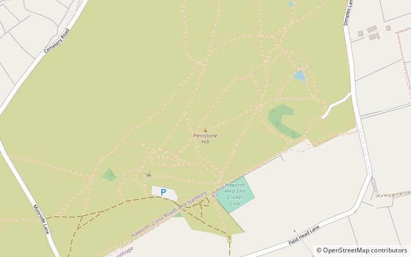
Penistone Hill Country Park is an open space of moorland that is located to 0.31 miles west of Haworth and 0.62 miles north-west of Oxenhope in West Yorkshire, England. The park's highest point is detailed with a trig point which is 1,030 feet above sea level. Since 1994, the park has been notified as being an SSSI as part of the South Pennine Moors. ()
Elevation: 1040 ft a.s.l.Coordinates: 53°49'30"N, 1°58'4"W
Address
Keighley (Worth Valley)Bradford
ContactAdd
Social media
Add
Day trips
Penistone Hill Country Park – popular in the area (distance from the attraction)
Nearby attractions include: Bronte Parsonage Museum, St Michael and All Angels' Church, Pied Piper Pianos, Lower Laithe Reservoir.
Frequently Asked Questions (FAQ)
Which popular attractions are close to Penistone Hill Country Park?
Nearby attractions include Bronte Parsonage Museum, Haworth (16 min walk), St Michael and All Angels' Church, Haworth (17 min walk).
How to get to Penistone Hill Country Park by public transport?
The nearest stations to Penistone Hill Country Park:
Train
Train
- Haworth (23 min walk)
- Oxenhope (24 min walk)


