Pennymuir Roman camps
Map

Map

Facts and practical information
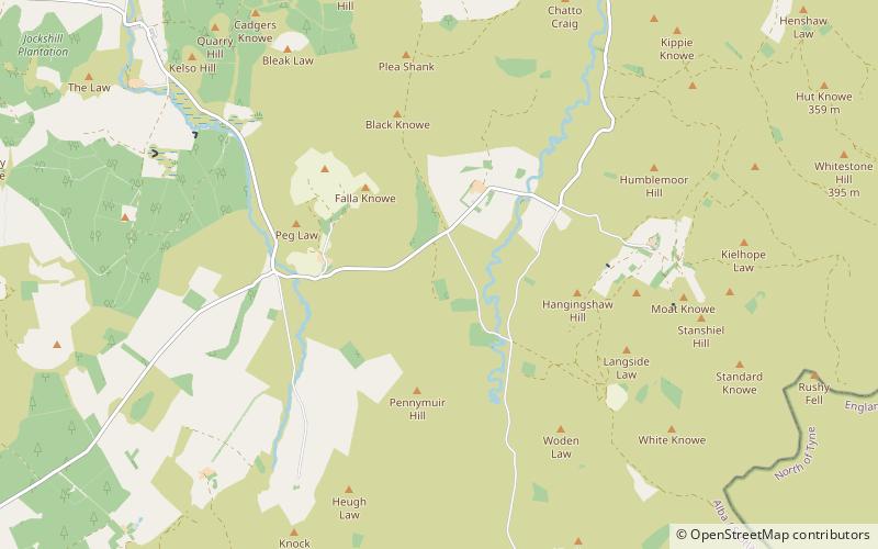
The Pennymuir Roman camps are situated southeast of Jedburgh in the Scottish Borders area of Scotland, near the Anglo-Scottish border, in the former Roxburghshire. The site, alongside the course of the Roman road known as Dere Street, consists of the remains of four Roman temporary camps, a linear earthwork and an area of rig. The site is also sometimes referred to as the Towford camps. ()
Coordinates: 55°25'6"N, 2°23'22"W
Location
Scotland
ContactAdd
Social media
Add
Day trips
Pennymuir Roman camps – popular in the area (distance from the attraction)
Nearby attractions include: Carter Bar, Chew Green.


