Chew Green, Northumberland National Park

Gallery (1)
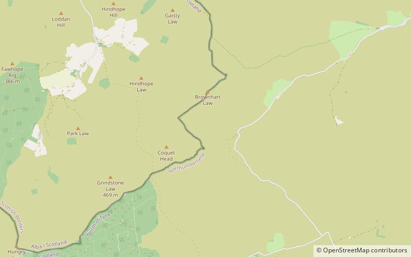
Map
Map
Facts and practical information
Chew Green is the site of the ancient Roman encampment, commonly but erroneously called Ad Fines on the 1885-1900 edition of the Ordnance Survey map, in Northumberland, England, 8 miles north of Rochester and 9 miles west of Alwinton. The encampment was adjacent to Dere Street, a Roman road that stretched south to York, and almost on the present-day border with Scotland. ()
Coordinates: 55°22'16"N, 2°20'13"W
Address
Northumberland National Park
ContactAdd
Social media
Add
Day trips


