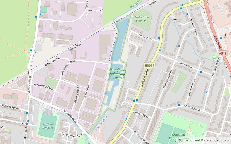
Chetwynd Centre, Stafford

Map
Facts and practical information
The Chetwynd Centre is an extension of the six Stafford high schools and Stafford College. The Centre provides a range of courses not otherwise offered by the Stafford Collegiate. Students who study at the Centre still belong to their School Sixth Form or Stafford College. The Chetwynd Centre is part of the Stafford Collegiate ()
Coordinates: 52°48'11"N, 2°7'1"W
Getting there by public transportation
Public transportation stops near this location
- Bus
- Train
 Bus
Bus
- Calculate routePilgrim Street 2 min walk
- Calculate routeThe Green 3 min walk
- Calculate routeWetherspoons PH 3 min walk
- Calculate routeThe Sun PH 3 min walk
- Calculate routeStafford 7 min walk
Day trips


Frequently Asked Questions (FAQ)
Which popular attractions are close to Chetwynd Centre?
Nearby attractions include St Mary's Church, Stafford (6 min walk), St Chad's Church, Stafford (6 min walk), Ancient High House, Stafford (6 min walk), Stafford College, Stafford (8 min walk).
How to get to Chetwynd Centre by public transport?
The nearest stations to Chetwynd Centre:
Bus
Train
Bus
- Pilgrim Street • Lines: 878 (2 min walk)
- The Green • Lines: 877, 878 (3 min walk)
Train
- Stafford (7 min walk)