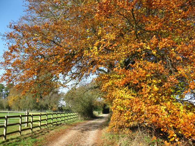
Oxfordshire Way, Bourton-on-the-Water
Map
Gallery
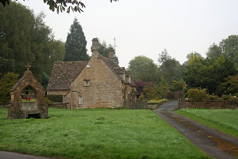
Facts and practical information
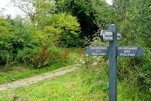
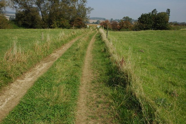
The Oxfordshire Way is a long-distance walk in Oxfordshire, England, with 6 miles in Gloucestershire and very short sections in Buckinghamshire. The path links with the Heart of England Way and the Thames Path. ()
Length: 68 miCoordinates: 51°53'6"N, 1°45'29"W
Address
Bourton-on-the-Water
ContactAdd
Social media
Add
Day trips
Oxfordshire Way – popular in the area (distance from the attraction)
Nearby attractions include: Birdland Park and Gardens, Cotswold Motoring Museum, Cotswold Perfumery, Icknield Street.
Frequently Asked Questions (FAQ)
Which popular attractions are close to Oxfordshire Way?
Nearby attractions include Cotswold Motoring Museum, Bourton-on-the-Water (2 min walk), Cotswold Perfumery, Bourton-on-the-Water (2 min walk), Dragonfly Maze, Bourton-on-the-Water (8 min walk), Birdland Park and Gardens, Bourton-on-the-Water (10 min walk).


