Thames Path
Gallery (3)
Map
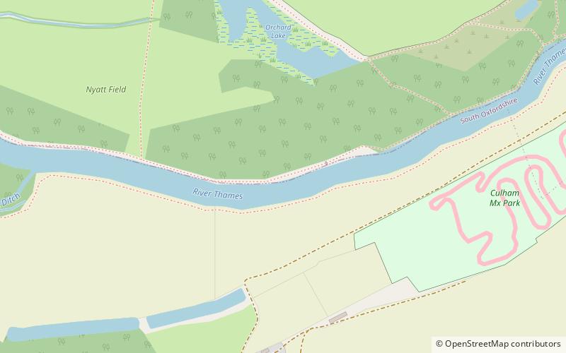
Map
Gallery
Facts and practical information
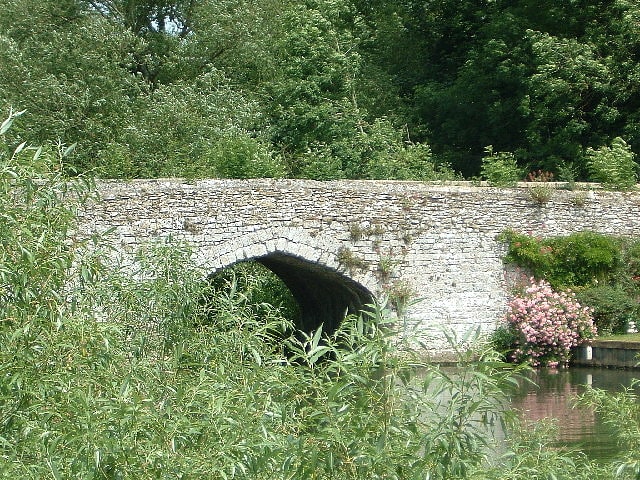
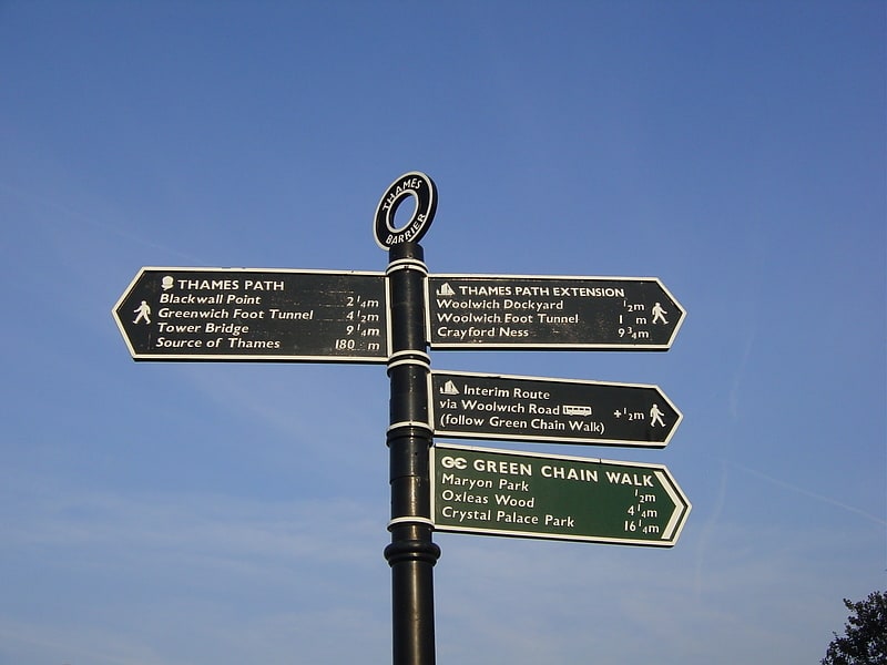
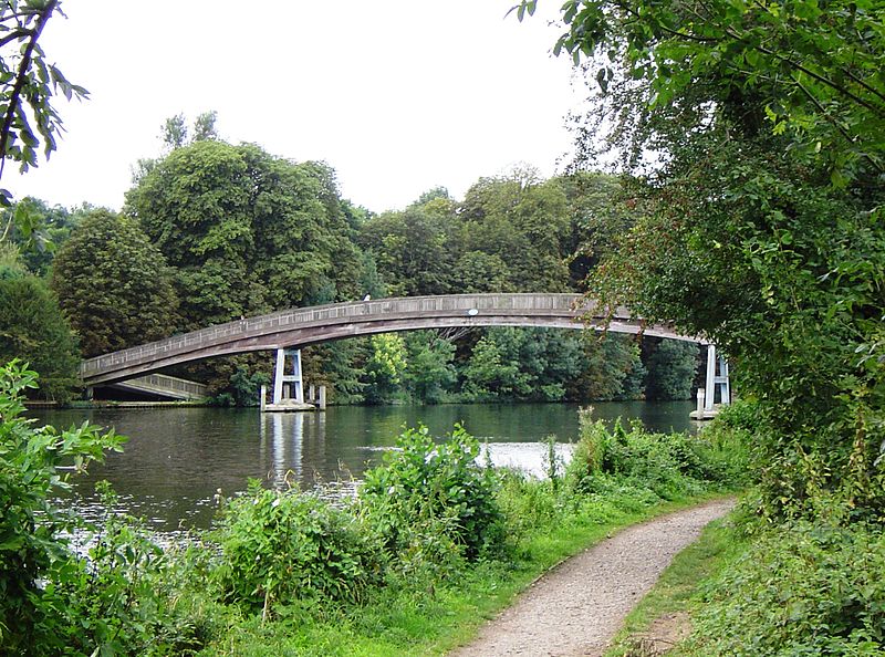
The Thames Path is a National Trail following the River Thames from its source near Kemble in Gloucestershire to the Thames Barrier at Charlton, south east London. It is about 184 miles long. A path was first proposed in 1948 but it only opened in 1996. ()
Location
England
ContactAdd
Social media
Add
Day trips