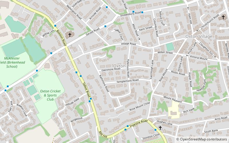
Oxton, Liverpool
Map

Map

Facts and practical information
Oxton is an affluent suburb of Birkenhead, Merseyside, England. Administratively it is a ward of the Metropolitan Borough of Wirral. Originally a village in its own right, it became part of the Municipal Borough of Birkenhead upon its creation in 1877. Before local government reorganisation on 1 April 1974, it was part of the County Borough of Birkenhead, within the county of Cheshire. ()
Coordinates: 53°22'51"N, 3°2'54"W
Address
Liverpool
ContactAdd
Social media
Add
Day trips
Oxton – popular in the area (distance from the attraction)
Nearby attractions include: Prenton Park, Prenton Golf Club, Birkenhead Park, Bidston Windmill.
Frequently Asked Questions (FAQ)
Which popular attractions are close to Oxton?
Nearby attractions include St Saviour's Church, Liverpool (5 min walk), Christ Church, Liverpool (10 min walk), Trinity with Palm Grove Church, Liverpool (10 min walk), Williamson Art Gallery & Museum, Liverpool (12 min walk).
How to get to Oxton by public transport?
The nearest stations to Oxton:
Train
Tram
Train
- Birkenhead Park (32 min walk)
- Birkenhead Central (32 min walk)
Tram
- Stop • Lines: Wirral Tramway (41 min walk)


