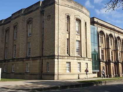
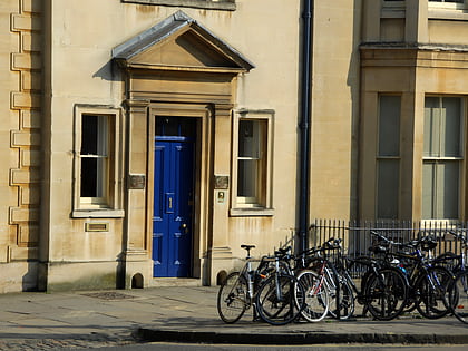
Parks Road, Oxford
Map
Gallery
Facts and practical information
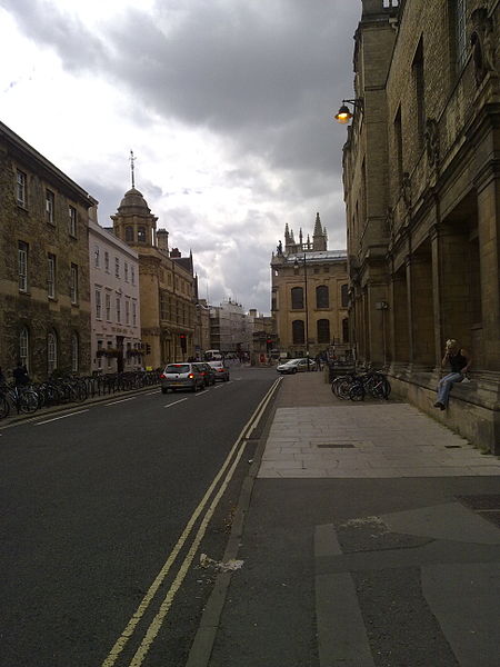
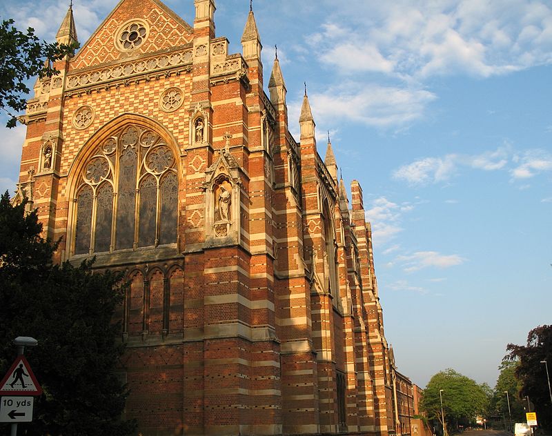
Parks Road is a road in Oxford, England, with several Oxford University colleges along its route. It runs north–south from the Banbury Road and Norham Gardens at the northern end, where it continues into Bradmore Road, to the junction with Broad Street, Holywell Street and Catte Street to the south. ()
Coordinates: 51°45'32"N, 1°15'25"W
Address
CarfaxOxford
ContactAdd
Social media
Add
Day trips
Parks Road – popular in the area (distance from the attraction)
Nearby attractions include: Magdalen Street, Walton Street, Ashmolean Museum, Little Clarendon Street.
Frequently Asked Questions (FAQ)
Which popular attractions are close to Parks Road?
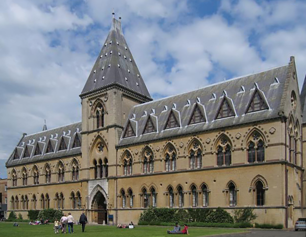
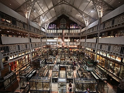
Nearby attractions include Keble College, Oxford (2 min walk), Oxford University Museum of Natural History, Oxford (2 min walk), Blackhall Road, Oxford (2 min walk), O'Reilly Theatre, Oxford (2 min walk).
How to get to Parks Road by public transport?
The nearest stations to Parks Road:
Bus
Train
Bus
- St Giles • Lines: 853 (7 min walk)
- Magdalen Street • Lines: 14, 14A, 35 (8 min walk)
Train
- Oxford (18 min walk)


