Peverell Park, Bere Ferrers
Map
Facts and practical information
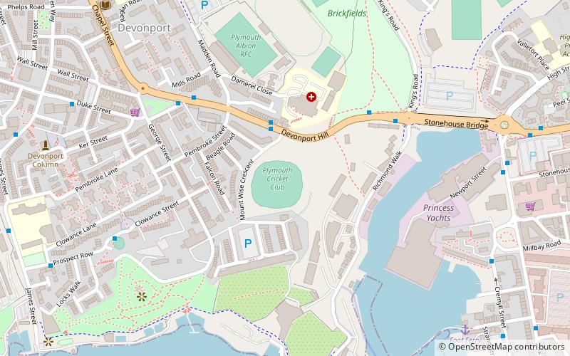
Peverell Park was a cricket ground in Plymouth, Devon. The ground was located close to Plymouth Albion's home ground, The Brickfields, which is located in the Devonport district of the city. ()
Coordinates: 50°22'7"N, 4°10'9"W
Address
DevonportBere Ferrers
ContactAdd
Social media
Add
Getting there by public transportation
Public transportation stops near this location
- Bus
- Train
 Bus
Bus
- Calculate routeDevonport 18 min walk
- Calculate routeDockyard 26 min walk
- Calculate routePlymouth 34 min walk
- Calculate routeWestern Approach 24 min walk
- Calculate routeDerry's Cross Coach Stop 27 min walk
- Calculate routeWestern Approach Flats 27 min walk
- Calculate routeWestern Approach Subway 28 min walk
Day trips


Frequently Asked Questions (FAQ)
Which popular attractions are close to Peverell Park?
Nearby attractions include Mount Wise, Bere Ferrers (7 min walk), Stonehouse Creek, Plymouth (8 min walk), Devonport Guildhall, Bere Ferrers (8 min walk), Devonport Column, Bere Ferrers (9 min walk).
How to get to Peverell Park by public transport?
The nearest stations to Peverell Park:
Train
Bus
Train
- Devonport (18 min walk)
- Dockyard (26 min walk)
Bus
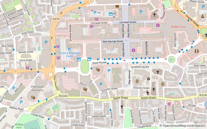
- Western Approach • Lines: 11, 44, 8, 9, X11 (24 min walk)
- Derry's Cross Coach Stop • Lines: X11 (27 min walk)