Piercebridge Roman Bridge
Map
![Piercebridge Roman Bridge location map](https://tzmedia.b-cdn.net/media/images/static-maps/gb/54_5346_-1_67006.jpg)
Map
![Piercebridge Roman Bridge location map](https://tzmedia.b-cdn.net/media/images/static-maps/gb/54_5346_-1_67006.jpg)
Facts and practical information
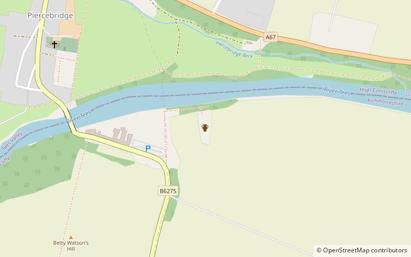
Piercebridge Roman Bridge is the ruin of a Roman bridge over the River Tees, northern England. It is near the villages of Cliffe and Piercebridge, County Durham. ()
Coordinates: 54°32'5"N, 1°40'12"W
Day trips
Piercebridge Roman Bridge – popular in the area (distance from the attraction)
Nearby attractions include: Blackwell Grange Golf Club, Cornmill Shopping Centre, Head of Steam, Darlington Town Hall.