Darlington Hebrew Congregation, Darlington
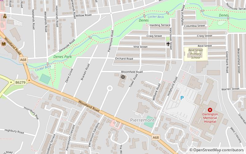
Map
Facts and practical information
Darlington Hebrew Congregation, a member of the Movement for Reform Judaism, is a Reform Judaism congregation at 15 Bloomfield Road in Darlington, County Durham, in the north-east of England. The congregation, which dates from 1904 and was originally an Orthodox community, has a historic burial ground and a current burial ground at West Cemetery, Carmel Road North, Darlington. Shabbat services are held monthly. ()
Coordinates: 54°31'55"N, 1°34'11"W
Getting there by public transportation
Public transportation stops near this location
- Bus
- Train
 Bus
Bus
- Calculate routeNorth Road 18 min walk
- Calculate routeDarlington 31 min walk
- Calculate routeTubwell Row 21 min walk
Day trips


Frequently Asked Questions (FAQ)
Which popular attractions are close to Darlington Hebrew Congregation?
Nearby attractions include Queen Elizabeth Sixth Form College, Darlington (12 min walk), Hopetown Carriage Works, Darlington (15 min walk), North Lodge Park, Darlington (16 min walk), Head of Steam, Darlington (17 min walk).
How to get to Darlington Hebrew Congregation by public transport?
The nearest stations to Darlington Hebrew Congregation:
Train
Bus
Train
- North Road (18 min walk)
- Darlington (31 min walk)
Bus
- Tubwell Row • Lines: X66 (21 min walk)