Raedykes

Gallery (1)
Map
Map
Facts and practical information
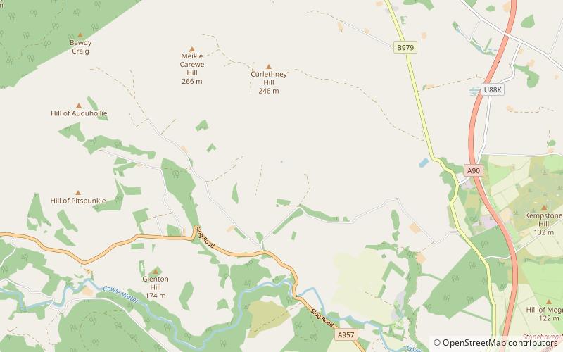
Raedykes is the site of a Roman marching camp located just over three miles northwest of Stonehaven, Aberdeenshire, Scotland. National Grid Reference NO 842902. It is designated as a scheduled monument. A marching camp was a temporary camp used mainly for overnight stops on a long route between more permanent forts, or as a temporary base while on campaign in hostile territory. ()
Coordinates: 57°0'8"N, 2°15'49"W
Day trips


