Rodwell Trail, Weymouth
Map
Gallery
Facts and practical information
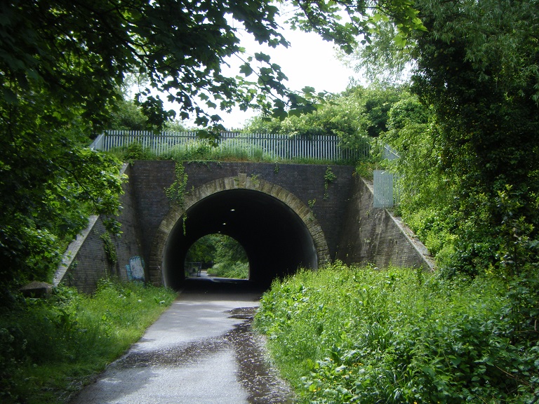
The Rodwell Trail is a short-distance footpath that runs from Wyke Regis to the town centre of Weymouth in Dorset – a distance of 3.5 kilometres. The trail, opened in 2000, travels along the former route of the Weymouth and Portland Railway. The section from near Sandsfoot Castle to Ferry Bridge is part of the South West Coast Path. The route follows part of the Jurassic Coast, and Sites of Special Scientific Interest. It is named after a neighbourhood of Weymouth which it passes through. ()
Coordinates: 50°35'35"N, 2°28'37"W
Address
Weymouth
ContactAdd
Social media
Add
Day trips
Rodwell Trail – popular in the area (distance from the attraction)
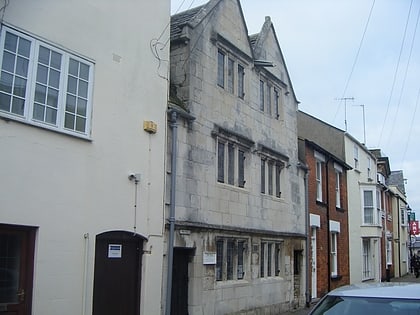
Nearby attractions include: Weymouth Old Town Hall, Weymouth Marina, Sandsfoot Castle, Tudor House Museum.
Frequently Asked Questions (FAQ)
Which popular attractions are close to Rodwell Trail?
Nearby attractions include Wyke Regis Methodist Church, Weymouth (3 min walk), Wyke Castle, Weymouth (6 min walk), All Saints Church, Weymouth (11 min walk), Wyke Regis War Memorial, Weymouth (12 min walk).


