Romford Ice Arena, London
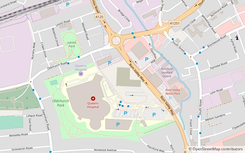
Map

Map

Facts and practical information
Romford Ice Arena was an ice rink located in Romford in the London Borough of Havering, England. The venue was built in the 1980s and at the time of opening in 1987 was equipped with a full range of facilities, including a cafe and arcade games. The venue closed in April 2013. It has now been replaced by the Sapphire Ice and Leisure Centre, which opened in 2018 on a nearby site and was named in honour of Queen Elizabeth II's Sapphire Jubilee. ()
Coordinates: 51°34'11"N, 0°10'53"E
Day trips
Romford Ice Arena – popular in the area (distance from the attraction)
Nearby attractions include: Romford Greyhound Stadium, The Mercury Mall, The Brewery, Eastbrookend Country Park.
Frequently Asked Questions (FAQ)
Which popular attractions are close to Romford Ice Arena?
Nearby attractions include Brookside Theatre, London (12 min walk), Havering Museum, London (14 min walk), Romford Market, London (17 min walk), Church of St Edward the Confessor, Romford (20 min walk).
How to get to Romford Ice Arena by public transport?
The nearest stations to Romford Ice Arena:
Bus
Train
Bus
- Queen's Hospital • Lines: 128, 175, 193, 365, 496, 498, 499, 5 (3 min walk)
- Rom Valley Way • Lines: 103, 174, 175, 365, 498, 499, 5 (4 min walk)
Train
- Romford (9 min walk)
- Gidea Park (35 min walk)

 Tube
Tube


