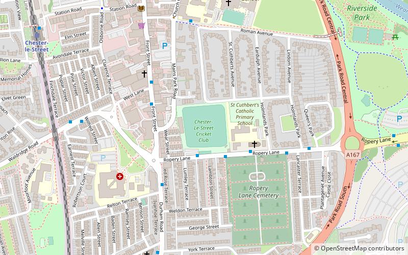
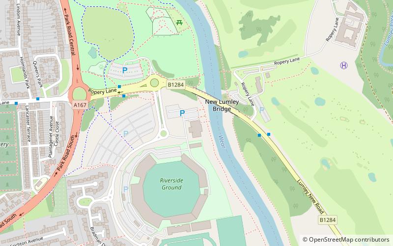
Ropery Lane, Chester-le-Street

Gallery (1)
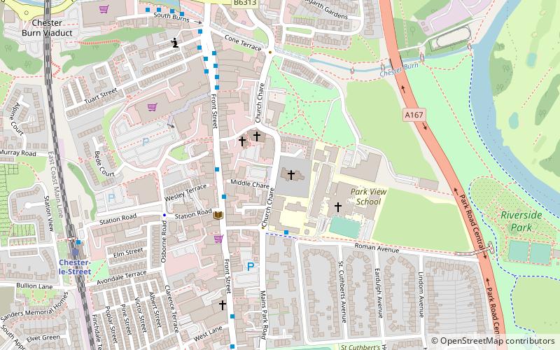
Map
Map
Facts and practical information
Ropery Lane is a cricket ground in Chester-le-Street, England round the corner from The Riverside Ground. It is the home of the Chester-le-Street Cricket Club, who play in the North East Premier League. ()
Coordinates: 54°51'8"N, 1°34'16"W
Address
Chester-le-Street
ContactAdd
Social media
Add
Getting there by public transportation
Public transportation stops near this location
- Train
 Train
Train
- Calculate routeChester-le-Street 9 min walk
Day trips


Frequently Asked Questions (FAQ)
Which popular attractions are close to Ropery Lane?
Nearby attractions include St Mary and St Cuthbert, Chester-le-Street (7 min walk), Cade's Road, Chester-le-Street (7 min walk), Chare, Chester-le-Street (7 min walk), Concangis, Chester-le-Street (8 min walk).
How to get to Ropery Lane by public transport?
The nearest stations to Ropery Lane:
Train
Train
- Chester-le-Street (9 min walk)