Cade's Road, Chester-le-Street
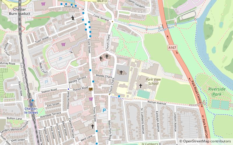
Map

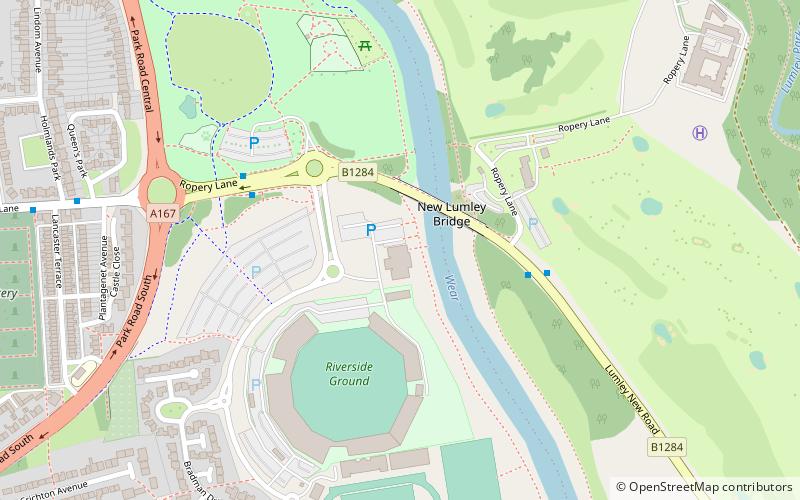
Map

Facts and practical information
Cade's Road is a postulated Roman Road in north-east England. It is named after John Cade of Durham, an 18th-century antiquarian who in 1785 proposed its existence and possible course from the Humber Estuary northwards to the River Tyne, a distance of about 100 miles. Although evidence exists for such a road on some parts of the proposed route, there is still some doubt regarding its exact course. The road's Roman name is unknown. ()
Coordinates: 54°51'21"N, 1°34'19"W
Address
Chester-le-Street
ContactAdd
Social media
Add
Day trips
Cade's Road – popular in the area (distance from the attraction)
Nearby attractions include: Concangis, St Mary and St Cuthbert, Market Hall Shops Chester-le-Street, Chare.
Frequently Asked Questions (FAQ)
Which popular attractions are close to Cade's Road?
Nearby attractions include Chare, Chester-le-Street (1 min walk), St Mary and St Cuthbert, Chester-le-Street (1 min walk), Concangis, Chester-le-Street (2 min walk), Chester le Street Community Centre, Chester-le-Street (8 min walk).
How to get to Cade's Road by public transport?
The nearest stations to Cade's Road:
Train
Train
- Chester-le-Street (7 min walk)


