Sheffield Theatres, Sheffield
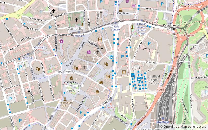
Map
Facts and practical information
Sheffield Theatres is a theatre complex in Sheffield, South Yorkshire, England. It comprises three theatres: the Crucible, the Lyceum and the Crucible Studio. These theatres make up the largest regional theatre complex outside the London region and show a variety of in-house and touring productions. ()
Coordinates: 53°22'52"N, 1°28'1"W
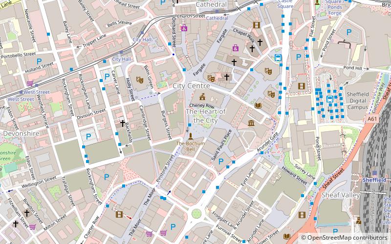
Getting there by public transportation
Public transportation stops near this location
- Bus
- Tram
- Train
 Bus
Bus
- Calculate routeArundel Gate AG5 1 min walk
- Calculate routeArundel Gate AG6 1 min walk
- Calculate routeArundel Gate Mini Interchange 1 min walk
- Calculate routeArundel Gate 1 min walk
- Calculate routeCathedral 4 min walk
- Calculate routeCastle Square 4 min walk
- Calculate routeFitzalan Square / Ponds Forge 6 min walk
- Calculate routeCity Hall 7 min walk
- Calculate routeSheffield 7 min walk
Day trips


Frequently Asked Questions (FAQ)
Which popular attractions are close to Sheffield Theatres?
Nearby attractions include Crucible Theatre, Sheffield (1 min walk), Lyceum Theatre, Sheffield (2 min walk), Tudor Square, Sheffield (2 min walk), Sheffield Library Theatre, Sheffield (2 min walk).
How to get to Sheffield Theatres by public transport?
The nearest stations to Sheffield Theatres:
Bus
Tram
Train
Bus
- Arundel Gate AG5 • Lines: 75, 76 (1 min walk)
- Arundel Gate AG6 • Lines: 20, 83, 83a, 97, 98, X1 (1 min walk)
Tram
- Cathedral • Lines: Blue, Purp, Tt, Yell (4 min walk)
- Castle Square • Lines: Blue, Purp, Tt, Yell (4 min walk)
Train
- Sheffield (7 min walk)