St Bartholomew's Church
Map

Map

Facts and practical information
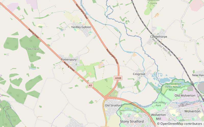
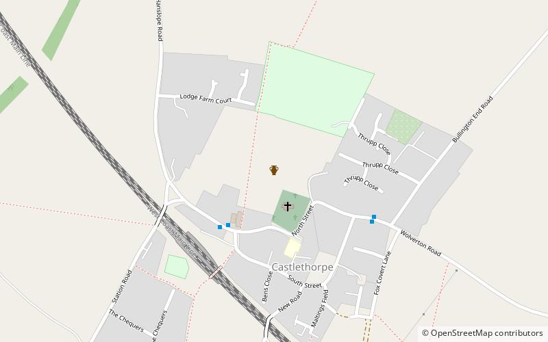
St Bartholomew's Church is a redundant Anglican church in the former village of Furtho, Northamptonshire, England. It is recorded in the National Heritage List for England as a designated Grade II* listed building, and is under the care of the Churches Conservation Trust. A former medieval village, it became deserted following enclosures that began in the early 16th century and were completed by Thomas Furtho in the 1570s. All that remains in the vicinity of the church is a farm and a dovecote. ()
Completed: 1620 (406 years ago)Architectural style: English gothicCoordinates: 52°4'51"N, 0°52'22"W
Day trips
St Bartholomew's Church – popular in the area (distance from the attraction)
Nearby attractions include: The Canal Museum, Concrete Cows, Milton Keynes Museum, Cosgrove aqueduct.


