St Clement's, London
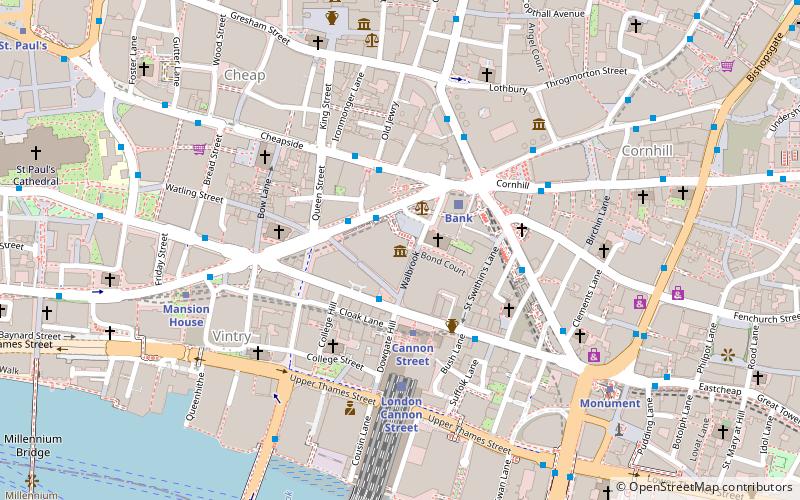
Map
Gallery

Facts and practical information
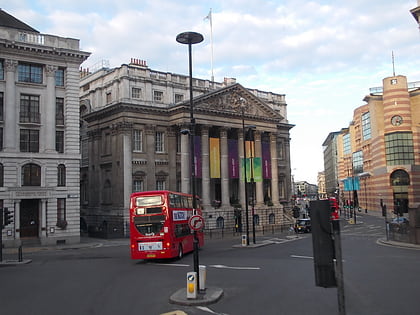
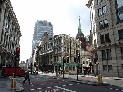
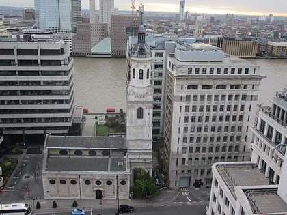
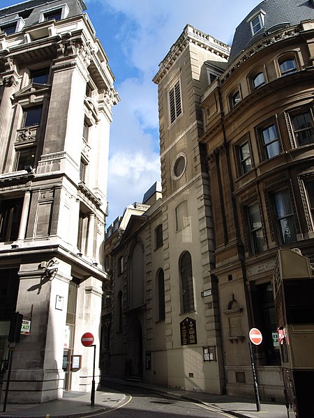
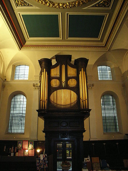
St Clement Eastcheap is a Church of England parish church in Candlewick Ward of the City of London. It is located on Clement's Lane, off King William Street and close to London Bridge and the River Thames. ()
Coordinates: 51°30'41"N, 0°5'13"W
Day trips
St Clement's – popular in the area (distance from the attraction)
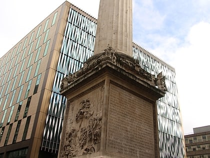
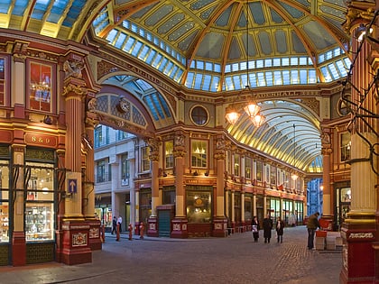
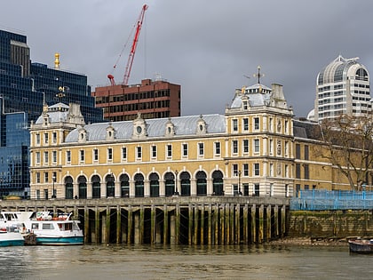
Nearby attractions include: The Monument, Leadenhall Market, Old Billingsgate Market, Borough High Street.
Frequently Asked Questions (FAQ)
Which popular attractions are close to St Clement's?
Nearby attractions include St Mary Abchurch, London (2 min walk), King William Street, London (2 min walk), St Edmund, London (3 min walk), The Monument, London (3 min walk).
How to get to St Clement's by public transport?
The nearest stations to St Clement's:
Light rail
Metro
Bus
Train
Ferry
Light rail
- Bank Platform 9 • Lines: B-L, B-Wa (2 min walk)
- Tower Gateway Platform 1 • Lines: Tg-B (14 min walk)
Metro
- Monument • Lines: Circle, District (2 min walk)
- Cannon Street • Lines: Circle, District (4 min walk)
Bus
- Fenchurch Street • Lines: 133, 26, 388, 8, N11, N133, N242, N26, N8 (3 min walk)
- Monument Station • Lines: 388 (3 min walk)
Train
- Bank (5 min walk)
- London Cannon Street (5 min walk)
Ferry
- London Bridge City Pier • Lines: Rb1, Rb1X, Rb2, Rb6 (9 min walk)
- Tower Millennium Pier • Lines: Rb1, Rb1X, Rb2, Red Tour (12 min walk)




 Tube
Tube