St Mary's Church, Sheffield
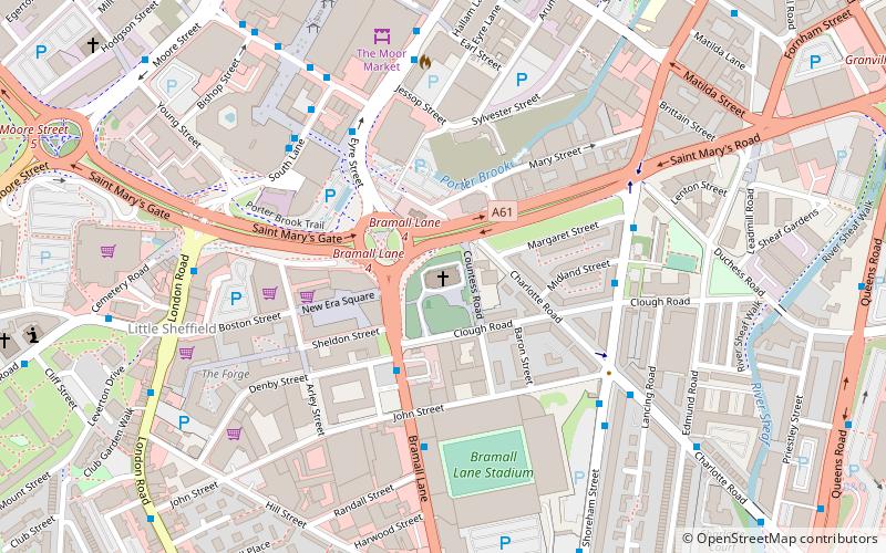
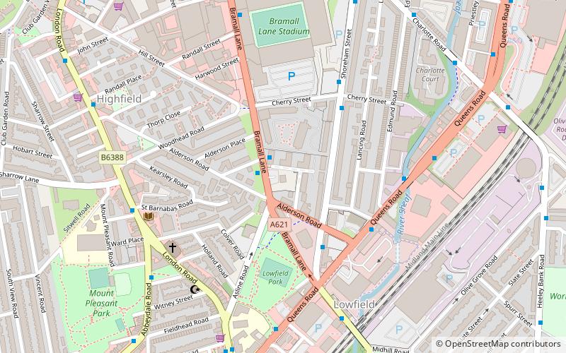
Map

Map

Facts and practical information
St Mary's Church, Bramall Lane is a Church of England parish church in the City of Sheffield, England. ()
Architectural style: Gothic revivalCoordinates: 53°22'21"N, 1°28'18"W
Day trips
St Mary's Church – popular in the area (distance from the attraction)
Nearby attractions include: The Leadmill, Corporation, Bramall Lane, Sheaf House Stadium.
Frequently Asked Questions (FAQ)
Which popular attractions are close to St Mary's Church?
Nearby attractions include Bramall Lane, Sheffield (4 min walk), London Road, Sheffield (6 min walk), Sheffield Institute of Arts Gallery, Sheffield (7 min walk), The Moor, Sheffield (7 min walk).
How to get to St Mary's Church by public transport?
The nearest stations to St Mary's Church:
Bus
Tram
Train
Bus
- Eyre Street/Moorfoot ES6 • Lines: 1, 11, 11A, 51, X17 (4 min walk)
- Shoreham Street/Clough Road • Lines: 1, 11, 11A, 51 (4 min walk)
Tram
- Granville Road / The Sheffield College • Lines: Blue, Purp (12 min walk)
- Park Grange Croft • Lines: Blue, Purp (15 min walk)
Train
- Sheffield (15 min walk)


