Stepps, Glasgow

Gallery (1)
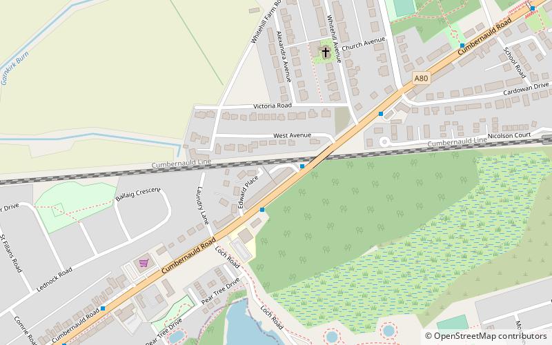
Map
Map
Facts and practical information
Stepps is a settlement in North Lanarkshire, Scotland, near the north-eastern outskirts of Glasgow. Its recently upgraded amenities include a new primary school, library and sports facilities. The town retains a historic heart around its church in Whitehill Avenue, whilst examples of Victorian and Edwardian housing can still be found. The travel connections by road and rail mean residents work in Glasgow, Edinburgh, Falkirk, Stirling and beyond. The town is located in close proximity to the new Seven Lochs Wetland Park, from which views to the Campsies and Loch Lomond can be enjoyed. Stepps has a population of around 6,730. ()
Address
MillerstonGlasgow
ContactAdd
Social media
Add
Getting there by public transportation
Public transportation stops near this location
- Bus
- Train
 Bus
Bus
- Calculate routeStepps 10 min walk
- Calculate routeRobroyston 25 min walk
- Calculate routeCraigend, Collessie Drive/ Cambusdoon Road 26 min walk
- Calculate routePorchester Street / Craigievar Street 26 min walk
- Calculate routeGarthamlock, Tillycairn Road/ Craigneil Street 27 min walk
Day trips


Frequently Asked Questions (FAQ)
How to get to Stepps by public transport?
The nearest stations to Stepps:
Train
Bus
Train
- Stepps (10 min walk)
- Robroyston (25 min walk)
Bus
- Craigend, Collessie Drive/ Cambusdoon Road • Lines: 38, 38A (26 min walk)
- Porchester Street / Craigievar Street • Lines: 38, 38A (26 min walk)