Seven Lochs Wetland Park, Glasgow

Map
Facts and practical information
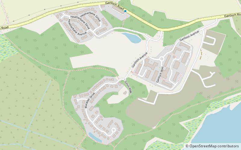
The Seven Lochs Wetland Park is an urban park that is due to be created in Scotland. It will comprise nearly 20 km² of land and water between Glasgow and Coatbridge. ()
Elevation: 308 ft a.s.l.Coordinates: 55°52'44"N, 4°6'29"W
Address
GarthamlockGlasgow
ContactAdd
Social media
Add
Day trips
Seven Lochs Wetland Park – popular in the area (distance from the attraction)
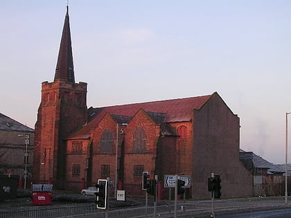
Nearby attractions include: Glasgow Fort, Hogganfield, Shettleston New Church, St Serf's Church.
Frequently Asked Questions (FAQ)
How to get to Seven Lochs Wetland Park by public transport?
The nearest stations to Seven Lochs Wetland Park:
Bus
Train
Bus
- Bogbain Road / Wardie Road • Lines: 38 (23 min walk)
- Westerhouse Road / Auchinlea Road • Lines: 38, 38A (25 min walk)
Train
- Gartcosh (31 min walk)


