Aylestone, Leicester
Map
Gallery
Facts and practical information
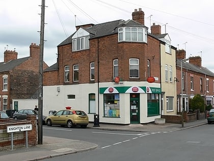
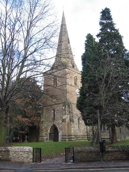
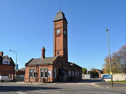
Aylestone is a suburb of Leicester, England, southwest of the city centre and to the east of the River Soar. It was formerly a separate village, but the growth of the city since the Leicester Extension Act of 1891 incorporated Aylestone into the Borough of Leicester and it is now part of the suburban area. ()
Elevation: 213 ft a.s.l.Coordinates: 52°36'17"N, 1°9'12"W
Address
Leicester South (Aylestone)Leicester
ContactAdd
Social media
Add
Day trips
Aylestone – popular in the area (distance from the attraction)
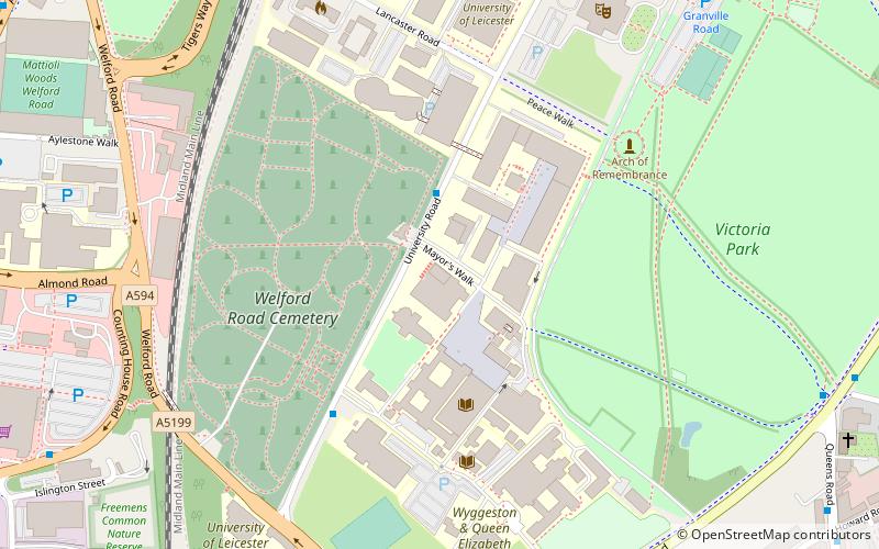
Nearby attractions include: Fosse Shopping Park, Gas Museum, Welford Road Cemetery, Attenborough Building.
Frequently Asked Questions (FAQ)
Which popular attractions are close to Aylestone?
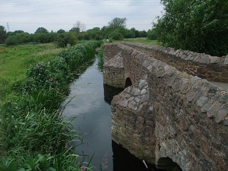
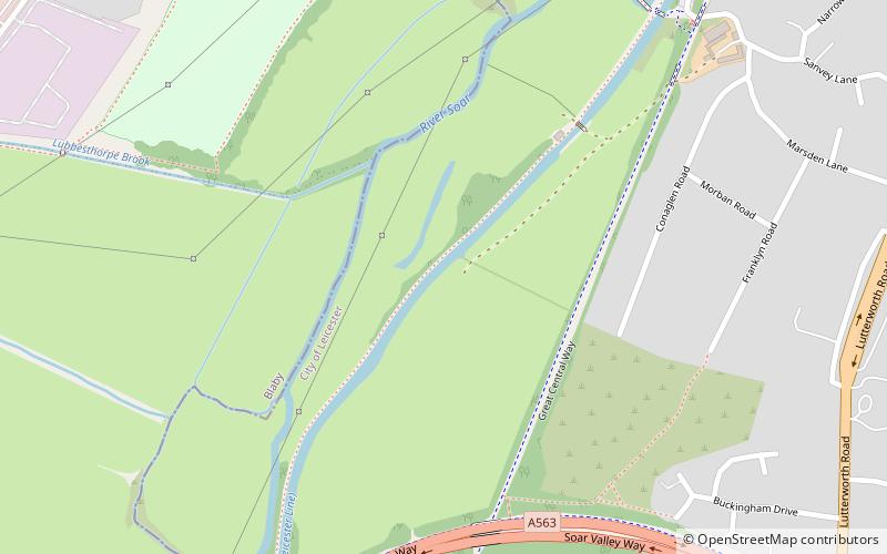
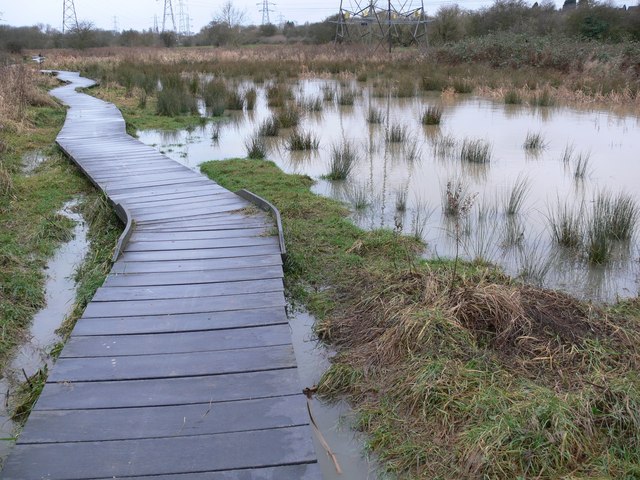
Nearby attractions include Aylestone Meadows, Leicester (8 min walk), Scheduled monuments in Leicester, Leicester (13 min walk), Braunstone Park & Rowley Fields, Leicester (17 min walk).
How to get to Aylestone by public transport?
The nearest stations to Aylestone:
Bus
Bus
- Hay Road • Lines: 104 (29 min walk)
- Fernhurst Road • Lines: 104 (29 min walk)
