Braunstone Park & Rowley Fields, Leicester

Map
Facts and practical information
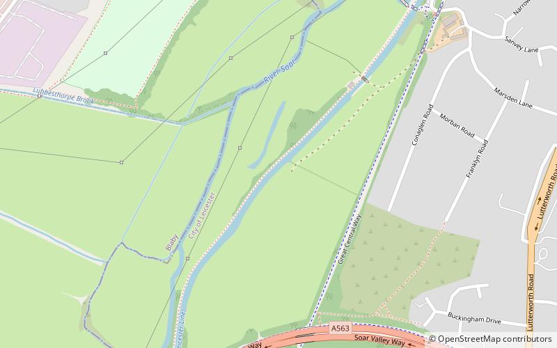
Braunstone Park & Rowley Fields is an electoral ward and administrative division of the city of Leicester, England. It comprises the western Leicester suburbs of Braunstone Frith, Braunstone Park and Rowley Fields. ()
Elevation: 203 ft a.s.l.Coordinates: 52°35'60"N, 1°10'0"W
Address
Leicester South (Aylestone)Leicester
ContactAdd
Social media
Add
Day trips
Braunstone Park & Rowley Fields – popular in the area (distance from the attraction)
Nearby attractions include: Fosse Shopping Park, Gas Museum, Aylestone, Aylestone Meadows.
Frequently Asked Questions (FAQ)
Which popular attractions are close to Braunstone Park & Rowley Fields?
Nearby attractions include Scheduled monuments in Leicester, Leicester (6 min walk), Aylestone Meadows, Leicester (12 min walk), Aylestone, Leicester (17 min walk), Glen Parva Nature Reserve, Leicester (23 min walk).
How to get to Braunstone Park & Rowley Fields by public transport?
The nearest stations to Braunstone Park & Rowley Fields:
Bus
Bus
- Fosse Park • Lines: 104 (14 min walk)
- Cottage Farm Close • Lines: 104 (16 min walk)


