Carlingford Lough
Map

Gallery

Facts and practical information
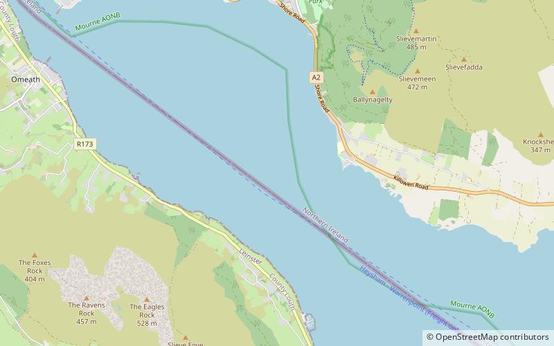
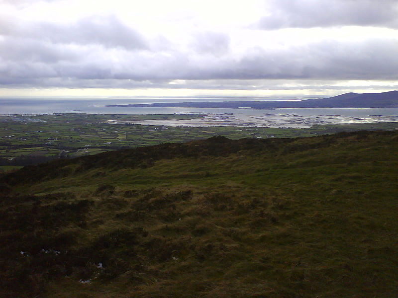
Carlingford Lough is a glacial fjord or sea inlet in northeastern Ireland, forming part of the border between Northern Ireland to the north and the Republic of Ireland to the south. On its northern shore is County Down, the Mourne Mountains, and the town of Warrenpoint; on its southern shore is County Louth, the Cooley Mountains and the village of Carlingford. The Newry River flows into the loch from the northwest. ()
LocationAdd
ContactAdd
Social media
Add
Day trips
Carlingford Lough – popular in the area (distance from the attraction)
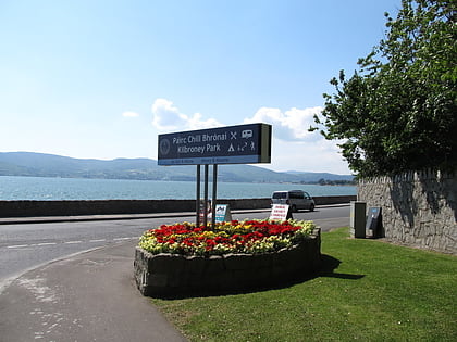
Nearby attractions include: Kilbroney Park, Haulbowline Lighthouse, Rostrevor Forest, Greencastle.


