Rostrevor Forest, Rostrevor
Map

Gallery

Facts and practical information
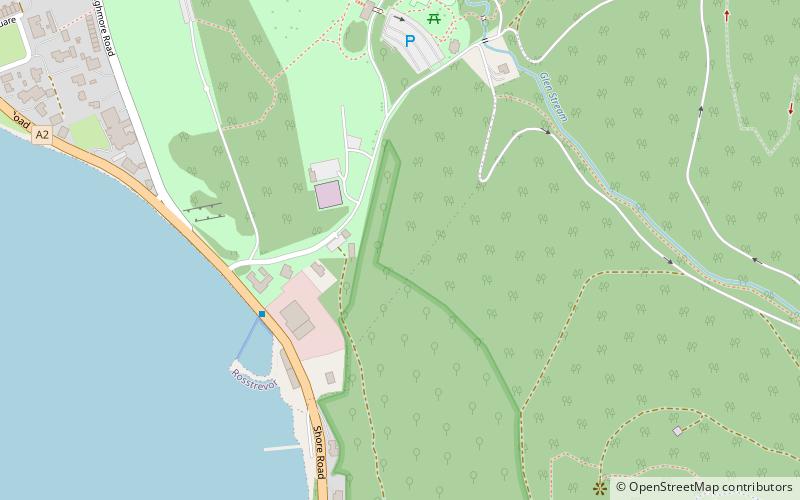
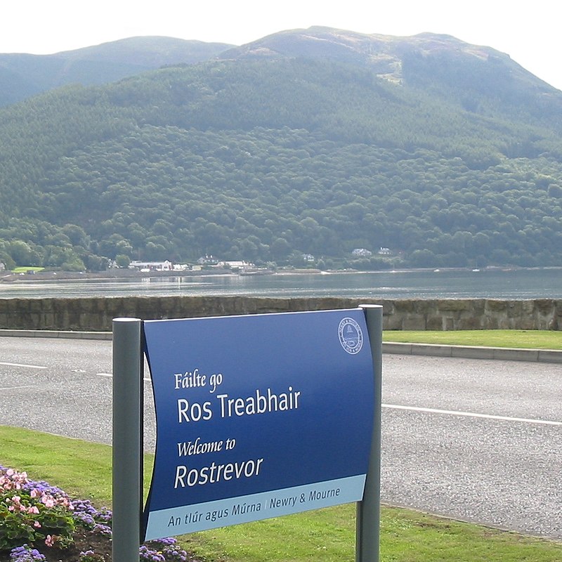
Rostrevor Forest is located near the village of Rostrevor, County Down, Northern Ireland. It lies between the Mourne Mountains and Carlingford Lough, in the Mourne Area of Outstanding Natural Beauty. The first trees, primarily sitka spruce, douglas fir and pine, were planted in 1931. The Forest Service carries out felling in the forest and replants trees with wildlife conservation in mind. Animal species found in the forest include red and grey squirrels, foxes, badgers, jays and sparrow hawks. ()
Coordinates: 54°5'42"N, 6°11'17"W
Address
Rostrevor
ContactAdd
Social media
Add
Day trips
Rostrevor Forest – popular in the area (distance from the attraction)
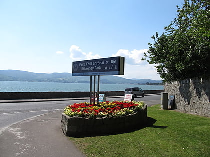
Nearby attractions include: Kilbroney Park, Haulbowline Lighthouse, Carlingford Lough, Greencastle.
Frequently Asked Questions (FAQ)
Which popular attractions are close to Rostrevor Forest?
Nearby attractions include Cloughmore, Rostrevor (7 min walk), Kilbroney Park, Rostrevor (8 min walk).


