Ill Crag, Lake District National Park
Map

Map

Facts and practical information
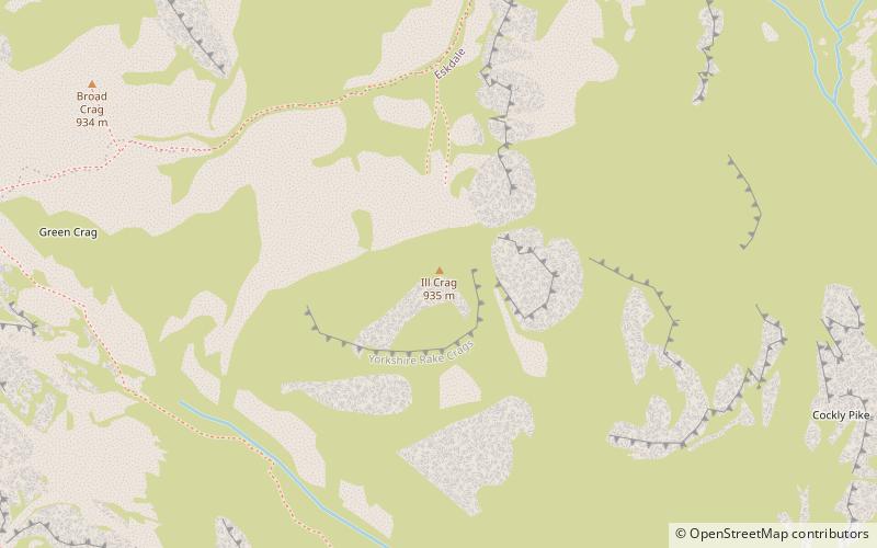
Ill Crag is a fell in the English Lake District. At 935 metres, it is the fourth-highest peak in England, after Scafell Pike, Sca Fell, and Helvellyn. Ill Crag overlooks Eskdale and has splendid views across to Bowfell and Crinkle Crags. ()
Elevation: 3068 ftProminence: 187 ftCoordinates: 54°27'20"N, 3°11'59"W
Address
Lake District National Park
ContactAdd
Social media
Add
Day trips
Ill Crag – popular in the area (distance from the attraction)
Nearby attractions include: Sca Fell, Scafell Pike, Lingmell, Sprinkling Tarn.
Frequently Asked Questions (FAQ)
Which popular attractions are close to Ill Crag?
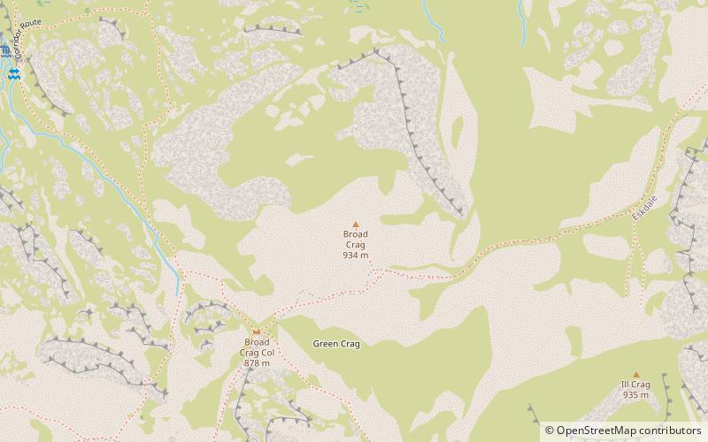
Nearby attractions include Broad Crag, Lake District National Park (8 min walk), Scafell Pike, Lake District National Park (13 min walk), Great End, Lake District National Park (17 min walk), Esk Hause, Lake District National Park (20 min walk).


