Sprinkling Tarn, Lake District National Park
Map

Map

Facts and practical information
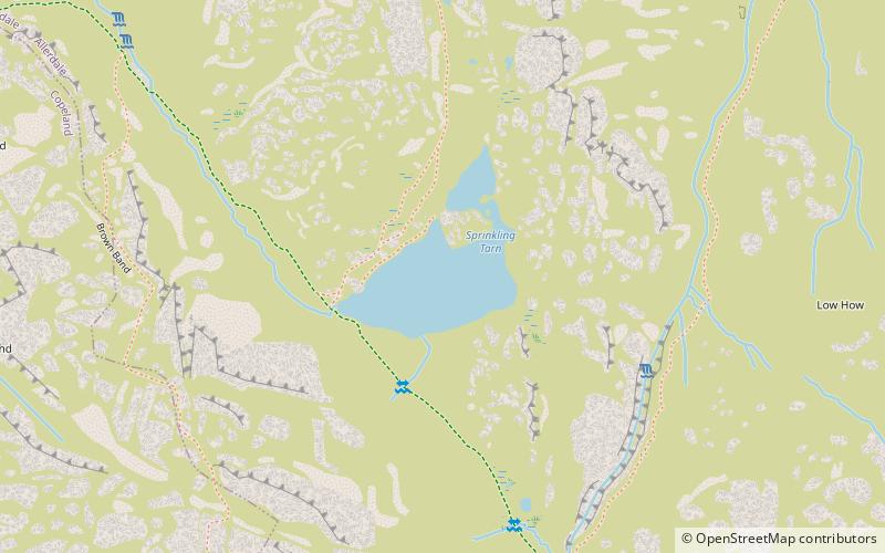
Sprinkling Tarn is a body of water at the foot of Great End, in the Southern Fells in Lake District, 3 kilometres from Seathwaite, Cumbria, England. Sprinkling Tarn is a popular location for wild campers. It is also popular among anglers, being noted for its trout and an introduced rare fish, vendace. Formerly known also as Sparkling Tarn. It is known as the wettest place of England with an annual precipitation of over 5 metres. ()
Elevation: 1972 ft a.s.l.Coordinates: 54°28'17"N, 3°11'34"W
Address
Lake District National Park
ContactAdd
Social media
Add
Day trips
Sprinkling Tarn – popular in the area (distance from the attraction)
Nearby attractions include: Great Gable, Green Gable, Scafell Pike, Lingmell.
Frequently Asked Questions (FAQ)
Which popular attractions are close to Sprinkling Tarn?
Nearby attractions include Sty Head, Lake District National Park (8 min walk), Great End, Lake District National Park (13 min walk), Styhead Tarn, Lake District National Park (16 min walk), Allen Crags, Lake District National Park (17 min walk).


