Radcliffe-on-Trent Golf Club, Nottingham
Facts and practical information
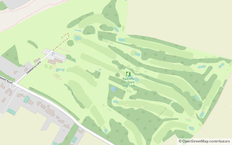
Nestled in the serene Nottinghamshire countryside, Radcliffe-on-Trent Golf Club offers an idyllic escape for golf enthusiasts and nature lovers alike. This prestigious golf course, with its rich history and meticulously maintained fairways, presents a challenging yet rewarding experience for golfers of all levels.
Established in 1909, Radcliffe-on-Trent Golf Club has been a cornerstone of the local sporting community for over a century. Its 18-hole course is spread over a lush landscape that combines natural beauty with strategic design, ensuring that each round is as enjoyable as it is demanding. The course is characterized by its gently undulating terrain, lined with mature trees and dotted with strategic bunkers, providing a picturesque backdrop for the perfect round of golf.
The club prides itself on its high standards of course maintenance, with greens that are renowned for their excellent condition throughout the year. The course layout has been thoughtfully designed to challenge both the seasoned golfer and the beginner, with a variety of holes that require precision and skill. The signature hole, a par three over water, is particularly memorable for its stunning vista and the test it poses.
Radcliffe-on-Trent Golf Club is more than just a golf course; it is a community hub where members and visitors can enjoy a range of facilities. The clubhouse offers a warm and welcoming atmosphere, where guests can relax and socialize after a round. With a well-stocked bar and a restaurant serving delicious meals, the clubhouse is the perfect place to unwind and recount the day's play.
The club also boasts a professional shop staffed by knowledgeable PGA professionals, offering the latest in golfing equipment and apparel. For those looking to improve their game, the club provides coaching and practice facilities, including a driving range and putting greens.
Radcliffe-on-Trent Golf Club is not only committed to providing an exceptional golfing experience but also to fostering a sense of community and inclusiveness. The club hosts regular competitions and social events, encouraging members to engage with one another and the sport they love.
- Bus
- Train
 Bus
Bus
- Calculate routeWoodside Road 14 min walk
- Calculate routeNorthfield Avenue 14 min walk
- Calculate routeBingham Road 15 min walk
- Calculate routeRadcliffe 23 min walk


Frequently Asked Questions (FAQ)
How to get to Radcliffe-on-Trent Golf Club by public transport?
Bus
- Woodside Road • Lines: 90, Rushcliffe Villager (14 min walk)
- Northfield Avenue • Lines: 90, Rushcliffe Villager (14 min walk)
Train
- Radcliffe (23 min walk)