Rye Meads
Map

Map

Facts and practical information
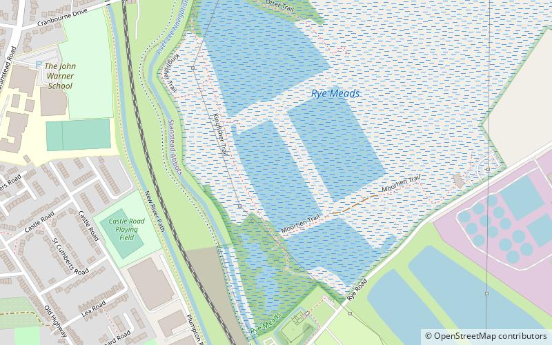
Rye Meads is a 58.5 hectare biological Site of Special Scientific Interest in Rye House, Hoddesdon, Hertfordshire. It is one of series of wetlands and reservoirs situated along the River Lea, to the north-east of London. It is part of the Lea Valley Ramsar site and a Special Protection Area. ()
Elevation: 102 ft a.s.l.Coordinates: 51°46'26"N, 0°0'22"E
Location
England
ContactAdd
Social media
Add
Day trips
Rye Meads – popular in the area (distance from the attraction)
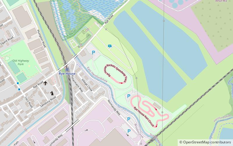
Nearby attractions include: Rye House Kart Raceway, Hoddesdon Cemetery, St James' Church, Rye House.


