Castlepoint Library, Bournemouth

Gallery (1)
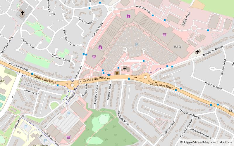
Map
Map
Facts and practical information
Castlepoint Library (address: Castle Lane West) is a place located in Bournemouth (England kingdom) and belongs to the category of library.
It is situated at an altitude of 39 feet, and its geographical coordinates are 50°45'5"N latitude and 1°50'35"W longitude.
Planning a visit to this place, one can easily and conveniently get there by public transportation. Castlepoint Library is a short distance from the following public transport stations: Castlepoint (bus, 1 min walk).
Among other places and attractions worth visiting in the area are: Castlepoint Shopping Park (shopping, 3 min walk), Queen's Park (park, 20 min walk), Littledown (gym, 22 min walk).
Coordinates: 50°45'5"N, 1°50'35"W
Getting there by public transportation
Public transportation stops near this location
- Bus
 Bus
Bus
- Calculate routeCastlepoint 1 min walk
- Calculate routeYeomans Road 4 min walk
- Calculate routeEventide Homes 5 min walk
- Calculate routeMallard Road 5 min walk
Day trips


Frequently Asked Questions (FAQ)
Which popular attractions are close to Castlepoint Library?
Nearby attractions include Queen's Park, Bournemouth (20 min walk), Littledown, Bournemouth (22 min walk), Charminster Library, Bournemouth (23 min walk).
How to get to Castlepoint Library by public transport?
The nearest stations to Castlepoint Library:
Bus
Bus
- Castlepoint • Lines: 14, 15, 2, 20, 2N, 3, 3N, 3x, 4, 6h, m1 (1 min walk)
- Yeomans Road • Lines: 4 (4 min walk)