St Paul's Church, Birmingham
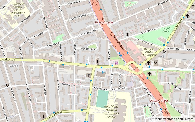
Map

Map

Facts and practical information
St Paul's Church, Lozells is a Grade II listed redundant parish church in the Church of England in Birmingham now used by the Assemblies of the First Born Church of God. ()
Completed: 1880 (146 years ago)Coordinates: 52°30'10"N, 1°54'8"W
Address
AstonBirmingham
ContactAdd
Social media
Add
Day trips
St Paul's Church – popular in the area (distance from the attraction)
Nearby attractions include: Villa Park, The Bartons Arms, Aston Hall, Redpoint Climbing Centre.
Frequently Asked Questions (FAQ)
Which popular attractions are close to St Paul's Church?
Nearby attractions include Holy Trinity Church, Birmingham (11 min walk), The Drum, Birmingham (11 min walk), Shree Geeta Bhawan, Birmingham (11 min walk), St Silas' Church, Birmingham (12 min walk).
How to get to St Paul's Church by public transport?
The nearest stations to St Paul's Church:
Train
Tram
Bus
Train
- Perry Barr (24 min walk)
- Witton (26 min walk)
Tram
- Jewellery Quarter • Lines: 1 (27 min walk)
- Saint Paul's • Lines: 1 (28 min walk)
Bus
- Sl1 • Lines: 7 (29 min walk)
- Cn1 • Lines: 7 (30 min walk)


