Wigmore, Luton

Gallery (1)
Map

Map
Facts and practical information
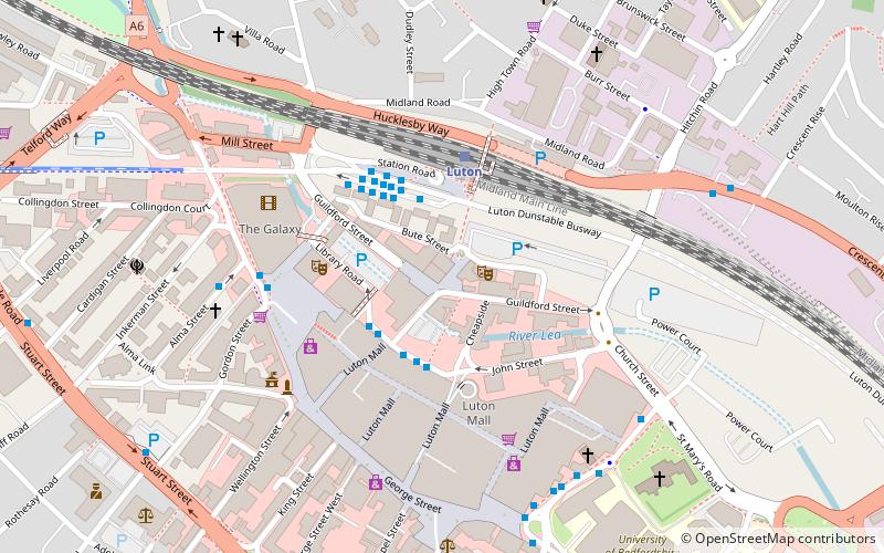
Wigmore is a suburb in east Luton, Bedfordshire, England. The area is roughly bounded by Telscombe Way and Someries Hill to the north, Wigmore Park to the south, Buckingham Drive and Wigmore Lane to the west, and the edge of Luton to the east. ()
Coordinates: 51°53'16"N, 0°22'13"W
Address
WigmoreLuton
ContactAdd
Social media
Add
Getting there by public transportation
Public transportation stops near this location
- Bus
- Train
 Bus
Bus
- Calculate routeBay L National Express 17 min walk
- Calculate routeLuton Airport Coach Terminal 17 min walk
- Calculate routeNational Express 17 min walk
- Calculate routeLuton Airport Parkway Station 40 min walk
- Calculate routeLuton Airport Parkway 39 min walk
Day trips


Frequently Asked Questions (FAQ)
How to get to Wigmore by public transport?
The nearest stations to Wigmore:
Bus
Train
Bus
- Bay L National Express • Lines: 422, 737 (17 min walk)
- Luton Airport Coach Terminal (17 min walk)
Train
- Luton Airport Parkway (39 min walk)