Annandale Way
Facts and practical information
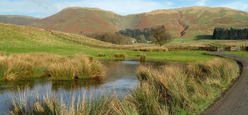
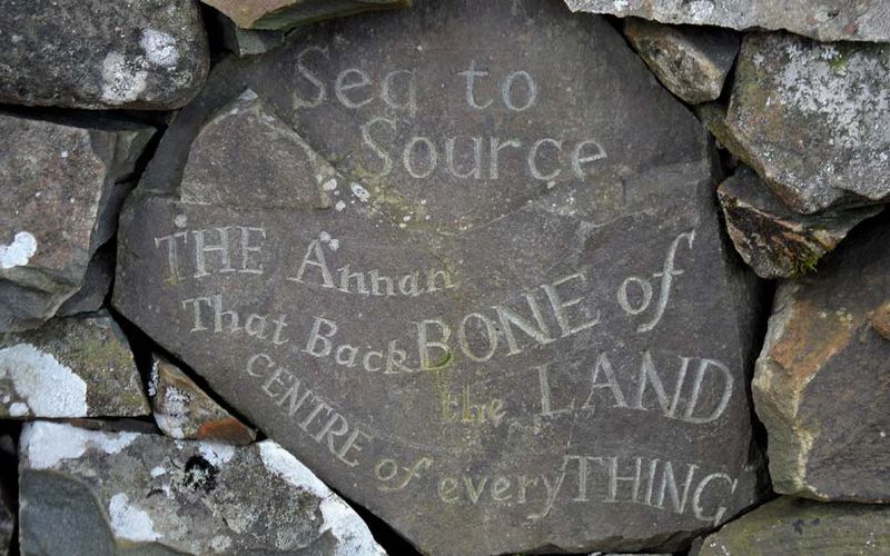
The Annandale Way is a captivating hiking trail that winds through the pastoral landscapes of the Scottish Borders and Dumfries and Galloway in the United Kingdom. This scenic route, which stretches for approximately 55 miles, offers hikers an opportunity to immerse themselves in the tranquil beauty of the region, while tracing the course of the River Annan from its source in the Moffat Hills to the sea at Annan.
Designed to be walked over several days, the Annandale Way can be tackled from north to south, beginning in the charming market town of Moffat, known for its woolen mills and historic character. As the trail meanders southward, hikers are treated to a diverse tapestry of landscapes, including serene woodlands, rolling farmland, and the rugged moorland of the Southern Uplands.
One of the unique features of this trail is its rich historical tapestry. The route passes through areas steeped in history, from ancient standing stones to remnants of the Roman occupation, such as the well-preserved fortifications at Burnswark Hill. The trail also offers the chance to explore the heritage of the Border Reivers, clans that inhabited the Anglo-Scottish borderlands during the 14th to 17th centuries.
The Annandale Way is designed to be accessible to walkers of various abilities, with the route clearly waymarked and detailed maps available. Along the way, there are plenty of cozy accommodation options, ranging from inns to bed and breakfasts, allowing hikers to rest and refuel after a day's walk. The trail also intersects with a number of charming villages and towns, where walkers can enjoy local hospitality and cuisine.
Annandale Way – popular in the area (distance from the attraction)
Nearby attractions include: Moffat Hills, White Coomb, Lothlorien Emporium and The Toy Museum, Loch Skeen.


