Annanhead Hill

Gallery (2)
Map
Map
Gallery
Facts and practical information
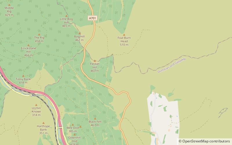
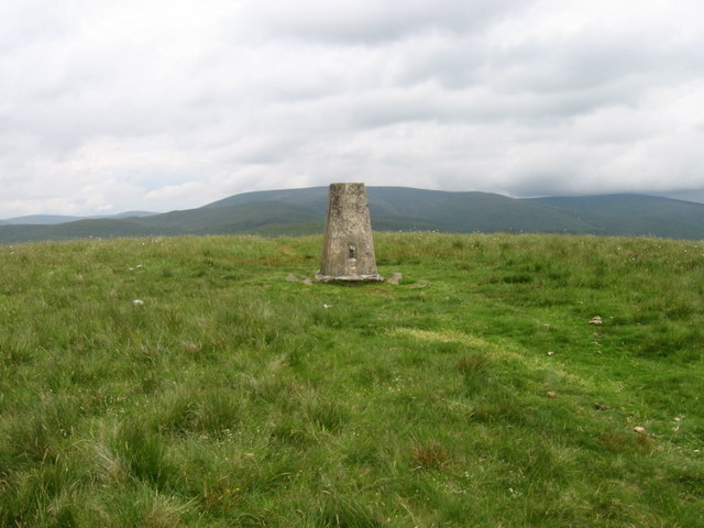
Annanhead Hill is a 478-metre summit in the Moffat Hills of Scotland. It lies on the boundary between the Scottish Borders and Dumfries and Galloway, 9 kilometres north of Moffat, in the Southern Uplands. ()
Elevation: 1568 ftCoordinates: 55°24'15"N, 3°29'19"W
Location
Scotland
ContactAdd
Social media
Add
Day trips


