Leeds Freedom Bridge, Leeds
Map

Map

Facts and practical information
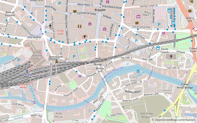
The Leeds Freedom Bridge is a rail bridge that crosses over the area known as gayleeds on Lower Briggate in Leeds, West Yorkshire. This area is also where an annual LBGT parade Leeds Pride finishes, the bridge is now painted in the rainbow colours of the Rainbow flag. ()
Coordinates: 53°47'42"N, 1°32'33"W
Day trips
Leeds Freedom Bridge – popular in the area (distance from the attraction)
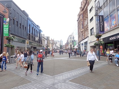
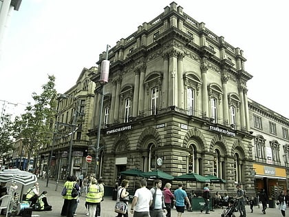
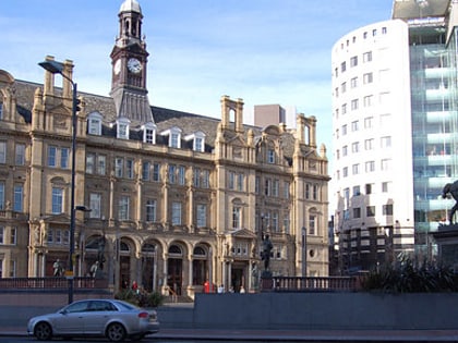
Nearby attractions include: Briggate, Leeds Corn Exchange, Leeds Kirkgate Market, The Tetley.
Frequently Asked Questions (FAQ)
Which popular attractions are close to Leeds Freedom Bridge?
Nearby attractions include Time Ball Buildings, Leeds (2 min walk), Leeds Bridge, Leeds (2 min walk), The Cockpit, Leeds (3 min walk), Holy Trinity Church, Leeds (3 min walk).
How to get to Leeds Freedom Bridge by public transport?
The nearest stations to Leeds Freedom Bridge:
Bus
Train
Ferry
Bus
- Trinity H • Lines: Pr2 (2 min walk)
- Corn Exchange J • Lines: 444, 446 (2 min walk)
Train
- Leeds (7 min walk)
Ferry
- Leeds Water Taxi Dock • Lines: Leeds Dock Water Taxi (12 min walk)


