South Bank, London
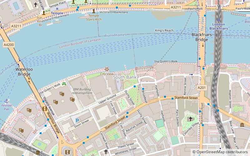
Map
Gallery
Facts and practical information
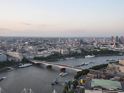
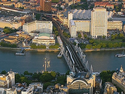
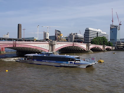
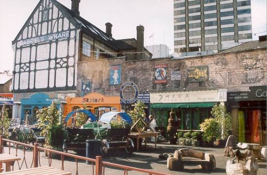
The South Bank is an entertainment and commercial district in central London, next to the River Thames opposite the City of Westminster. It forms a narrow strip of riverside land within the London Borough of Lambeth and the London Borough of Southwark,. As such, the South Bank may be regarded as somewhat akin to the riverside part of an area known previously as Lambeth Marsh and North Lambeth. ()
Day trips
South Bank – popular in the area (distance from the attraction)
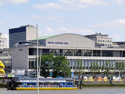
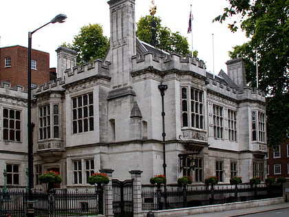
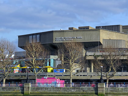
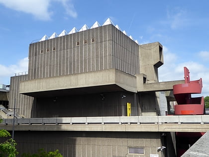
Nearby attractions include: Royal Festival Hall, Two Temple Place, Waterloo Bridge, Southbank Centre.
Frequently Asked Questions (FAQ)
Which popular attractions are close to South Bank?
Nearby attractions include Oxo Tower, London (2 min walk), South Bank Tower, London (3 min walk), The London Studios, London (4 min walk), Garden Bridge, London (5 min walk).
How to get to South Bank by public transport?
The nearest stations to South Bank:
Bus
Train
Metro
Ferry
Light rail
Bus
- Waterloo Bridge / South Bank • Lines: 26 (7 min walk)
- Waterloo Station / Tenison Way • Lines: 243 (8 min walk)
Train
- Waterloo East (7 min walk)
- London Blackfriars (9 min walk)
Metro
- Temple • Lines: Circle, District (8 min walk)
- Southwark • Lines: Jubilee (9 min walk)
Ferry
- Festival Pier • Lines: Green Tour (10 min walk)
- Blackfriars Pier • Lines: Rb6 (11 min walk)
Light rail
- Bank Platform 10 • Lines: B-L, B-Wa (25 min walk)

 Tube
Tube