Three Counties System, Yorkshire Dales National Park

Gallery (4)
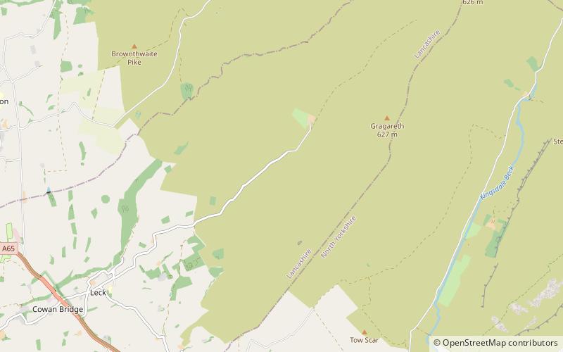
Map

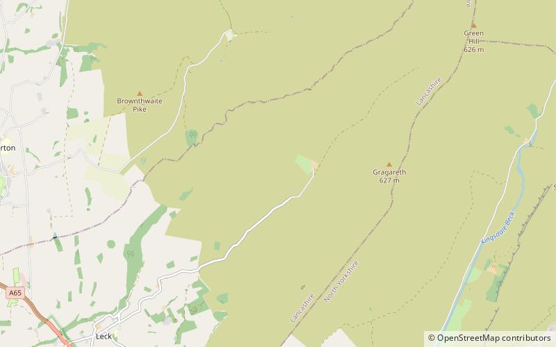
Map
Gallery
Facts and practical information
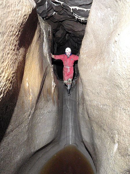
The Three Counties System is a set of inter-connected limestone solutional cave systems spanning the borders of Cumbria, Lancashire and North Yorkshire in the north of England. The possibility of connecting a number of discrete cave systems in the area to create a single super-system that spans the county borders was first proposed by Dave Brook in 1968, and it was achieved in 2011. The system is currently over 86 kilometres long, making it the longest in the UK and the thirtieth longest in the world, and there continues to be scope for considerably extending the system. ()
Length: 53.44 miDepth: 817 ftCoordinates: 54°12'25"N, 2°30'23"W
Address
Yorkshire Dales National Park
ContactAdd
Social media
Add
Day trips


Frequently Asked Questions (FAQ)
Which popular attractions are close to Three Counties System?
Nearby attractions include Long Drop Cave, Yorkshire Dales National Park (2 min walk), Rumbling Hole, Yorkshire Dales National Park (2 min walk), Short Drop Cave - Gavel Pot System, Yorkshire Dales National Park (4 min walk), Death's Head Hole, Yorkshire Dales National Park (5 min walk).