Ireby Fell Cavern, Yorkshire Dales National Park
Map

Gallery

Facts and practical information
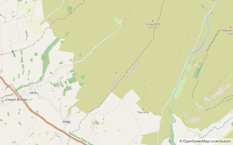
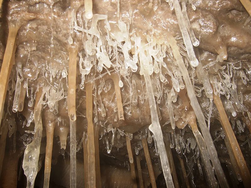
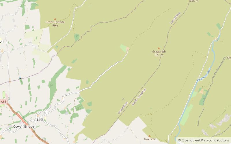
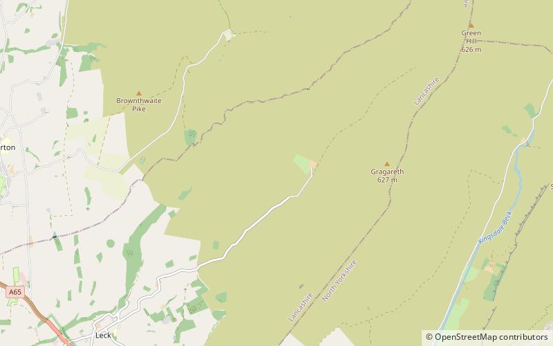
Ireby Fell Cavern is a cave system on Ireby Fell, Lancashire, England, near the border with North Yorkshire. It is a segment of the Three Counties System, linking the Rift Pot system to the south with Notts Pot to the north. ()
Discovered: 1949Length: 2.86 miDepth: 420 ftCoordinates: 54°11'27"N, 2°30'5"W
Address
Yorkshire Dales National Park
ContactAdd
Social media
Add
Day trips
Ireby Fell Cavern – popular in the area (distance from the attraction)
Nearby attractions include: Gragareth, Lost Pot, Boxhead Pot, Lost Johns' Cave.
Frequently Asked Questions (FAQ)
Which popular attractions are close to Ireby Fell Cavern?
Nearby attractions include Notts Pot, Yorkshire Dales National Park (9 min walk), Boxhead Pot, Yorkshire Dales National Park (17 min walk), Lost Pot, Yorkshire Dales National Park (18 min walk), Lost Johns' Cave, Yorkshire Dales National Park (22 min walk).


