Goldsands Road Pit, Southminster
Map
![Goldsands Road Pit location map](https://tzmedia.b-cdn.net/media/images/static-maps/gb/51_656_0_832.jpg)
Map
![Goldsands Road Pit location map](https://tzmedia.b-cdn.net/media/images/static-maps/gb/51_656_0_832.jpg)
Facts and practical information
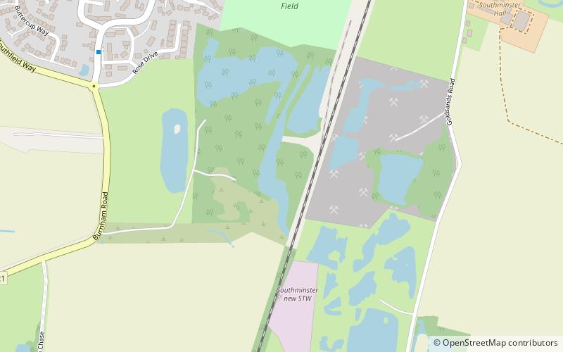
Goldsands Road Pit is a 1.3 hectare geological Site of Special Scientific Interest in Southminster in Essex. It is a Geological Conservation Review site. ()
Coordinates: 51°39'22"N, 0°49'55"E
Address
Southminster
ContactAdd
Social media
Add
Day trips
Goldsands Road Pit – popular in the area (distance from the attraction)
Nearby attractions include: Chapel of St Peter-on-the-Wall, Mangapps Railway Museum, Burnham-on-Crouch & District Museum, St Mary's Church.