Othona
Map

Map

Facts and practical information
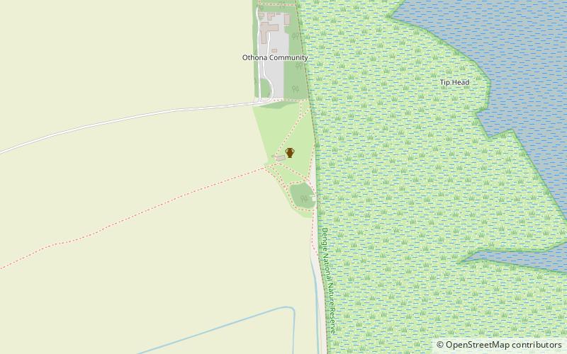
Othona or Othonae was the name of an ancient Roman fort of the Saxon Shore at the location of the modern village Bradwell-on-Sea in Essex, England. The Old English name Ythanceaster for the locality derives from the Roman name. ()
Coordinates: 51°44'6"N, 0°56'24"E
Location
England
ContactAdd
Social media
Add
Day trips
Othona – popular in the area (distance from the attraction)
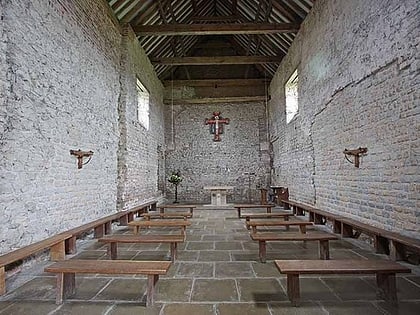
Nearby attractions include: Device Forts, Chapel of St Peter-on-the-Wall, Mersea Island Museum, Abbotts Hall Farm.


