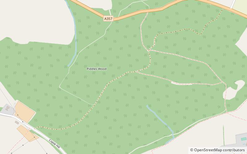
Piddles Wood, Sturminster Newton
Map

Map

Facts and practical information
Piddles Wood is a small area of woodland south of the River Stour, Dorset, and a Site of Special Scientific Interest. The site was notified as an SSSI in 1985. The nearest settlement is the town of Sturminster Newton. The local planning authority is North Dorset District Council and Dorset County Council, but part of the site is managed by the Dorset Naturalists' Trust. ()
Coordinates: 50°54'57"N, 2°17'31"W
Address
Sturminster Newton
ContactAdd
Social media
Add
Day trips
Piddles Wood – popular in the area (distance from the attraction)
Nearby attractions include: Gartell Light Railway, Fiddleford Manor, Hambledon Hill, North Dorset Railway.
Frequently Asked Questions (FAQ)
Which popular attractions are close to Piddles Wood?
Nearby attractions include Fiddleford Manor, Sturminster Newton (14 min walk), Sturminster Mill, Sturminster Newton (20 min walk), St Mary's Church, Sturminster Newton (20 min walk).


