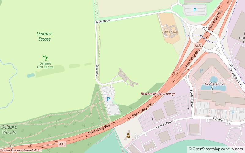
Delapre Golf Centre, Northampton
Map

Map

Facts and practical information
Delapre Golf Centre (address: Eagle Drive) is a place located in Northampton (England kingdom) and belongs to the category of golf, outdoor activities.
It is situated at an altitude of 220 feet, and its geographical coordinates are 52°13'12"N latitude and 0°52'55"W longitude.
Among other places and attractions worth visiting in the area are: Delapre Golf Centre (park, 10 min walk), Hardingstone Village Hall (city hall, 11 min walk), Delapré Abbey (park, 12 min walk).
Coordinates: 52°13'12"N, 0°52'55"W
Address
Eagle DriveDelapre and Briar HillNorthampton NN4 7DU
Contact
+44 1604 764036
Social media
Add
Day trips
Delapre Golf Centre – popular in the area (distance from the attraction)
Nearby attractions include: Nene Whitewater Centre, Delapré Abbey, All Saints' Church, Northampton Guildhall.
Frequently Asked Questions (FAQ)
Which popular attractions are close to Delapre Golf Centre?
Nearby attractions include Delapre Golf Centre, Northampton (10 min walk), Hardingstone Village Hall, Northampton (11 min walk), Delapré Abbey, Northampton (12 min walk), Barnes Meadow, Northampton (19 min walk).


