Between Towns Road, Oxford
Map
Gallery
Facts and practical information
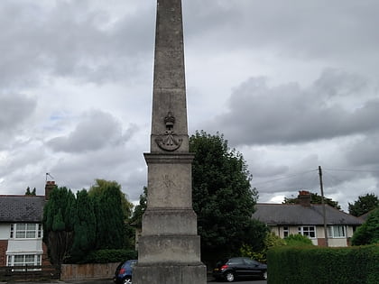
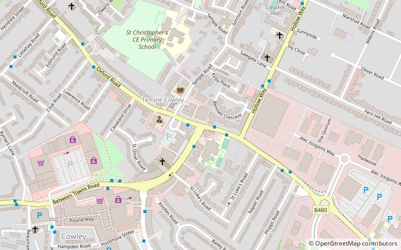
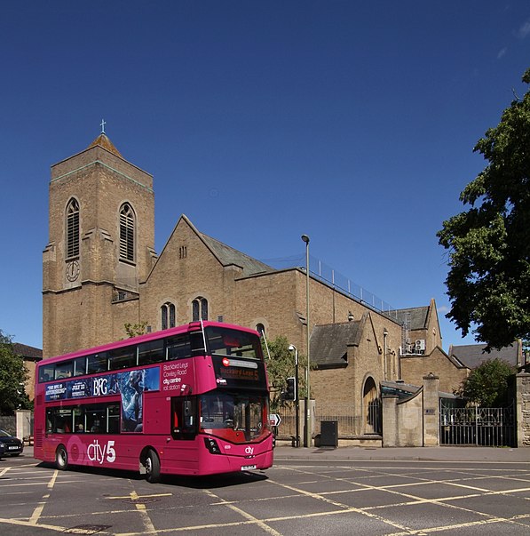
Between Towns Road is a major road in the area of Cowley, in the city of Oxford, England. ()
Coordinates: 51°44'3"N, 1°12'44"W
Address
CowleyOxford
ContactAdd
Social media
Add
Day trips
Between Towns Road – popular in the area (distance from the attraction)
Nearby attractions include: O2 Academy Oxford, Kassam Stadium, Templars Square, Oxford Stadium.
Frequently Asked Questions (FAQ)
Which popular attractions are close to Between Towns Road?
Nearby attractions include Rose Hill cemetery, Oxford (14 min walk), Oxfordshire and Buckinghamshire Light Infantry War Memorial, Oxford (19 min walk), Oxford Stadium, Oxford (20 min walk).
How to get to Between Towns Road by public transport?
The nearest stations to Between Towns Road:
Bus
Bus
- Original Swan • Lines: 10, 5A (1 min walk)
- Fern Hill Road • Lines: 10 (4 min walk)
