Oxfordshire and Buckinghamshire Light Infantry War Memorial, Oxford
Map
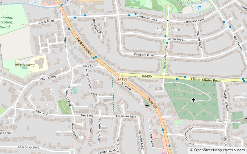
Map

Facts and practical information
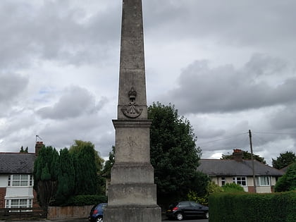
The Oxfordshire and Buckinghamshire Light Infantry War Memorial is a First World War memorial in the Cowley area of Oxford in southern England. Designed by Sir Edwin Lutyens, it commemorates men of the Oxfordshire and Buckinghamshire Light Infantry killed in the conflict; it was unveiled on Armistice Day, 11 November 1923, and has been a grade II listed building since 1972. ()
Coordinates: 51°43'56"N, 1°13'42"W
Address
Rose Hill and IffleyOxford
ContactAdd
Social media
Add
Day trips
Oxfordshire and Buckinghamshire Light Infantry War Memorial – popular in the area (distance from the attraction)
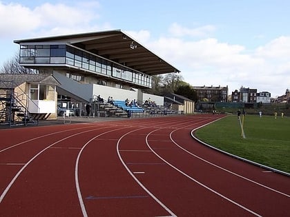
Nearby attractions include: O2 Academy Oxford, Templars Square, Roger Bannister running track, Ultimate Picture Palace.
Frequently Asked Questions (FAQ)
Which popular attractions are close to Oxfordshire and Buckinghamshire Light Infantry War Memorial?
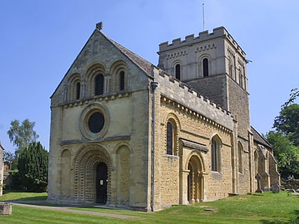
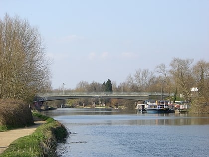
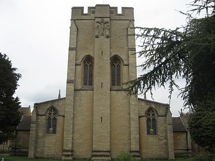
Nearby attractions include Rose Hill cemetery, Oxford (6 min walk), Iffley Lock, Oxford (13 min walk), St. Mary the Virgin Church, Oxford (14 min walk), Donnington Bridge, Oxford (16 min walk).
How to get to Oxfordshire and Buckinghamshire Light Infantry War Memorial by public transport?
The nearest stations to Oxfordshire and Buckinghamshire Light Infantry War Memorial:
Bus
Bus
- Iffley Turn • Lines: 3A (3 min walk)
- Henley Avenue • Lines: 3A (6 min walk)
