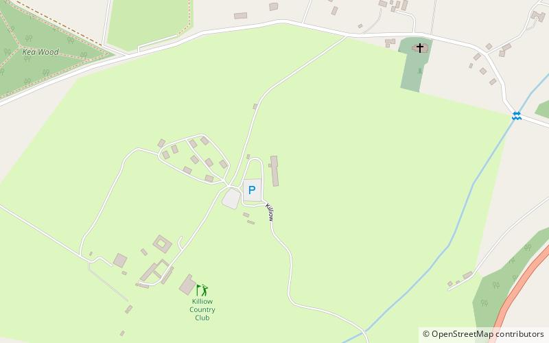
Killiow Golf Course Club House, Truro

Gallery (1)
Map
Map
Facts and practical information
Killiow Golf Course Club House (address: Killiow Estate, Kea) is a place located in Truro (England kingdom) and belongs to the category of golf.
It is situated at an altitude of 226 feet, and its geographical coordinates are 50°14'27"N latitude and 5°4'38"W longitude.
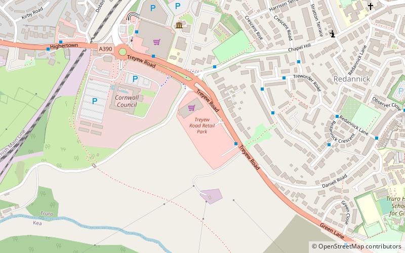
Among other places and attractions worth visiting in the area are: Treyew Road (sport, 35 min walk), Roseland Observatory (museum, 38 min walk), St John the Evangelist's Church (church, 44 min walk).
Coordinates: 50°14'27"N, 5°4'38"W
Address
Killiow Estate, KeaTruro
ContactAdd
Social media
Add
Day trips