South Moreton Church, Didcot
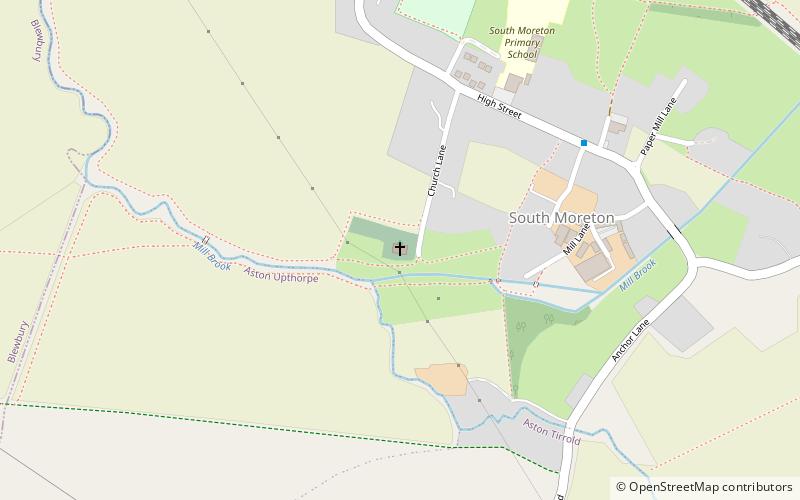
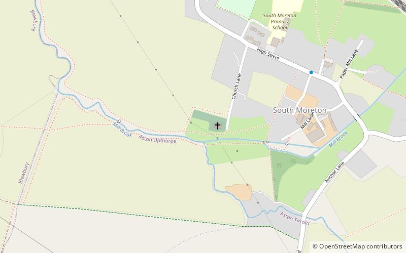
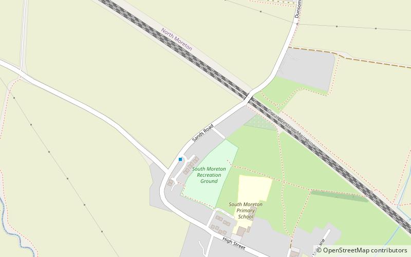
Map
Facts and practical information
South Moreton Church is a place located in Didcot (England kingdom) and belongs to the category of church.
It is situated at an altitude of 174 feet, and its geographical coordinates are 51°35'18"N latitude and 1°11'46"W longitude.
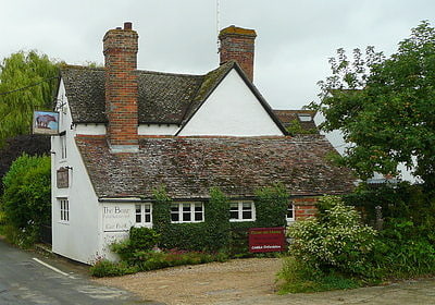
Among other places and attractions worth visiting in the area are: South Moreton Castle (forts and castles, 1 min walk), Hawkwalk (scenic walking areas, 9 min walk), Bear at Home (nightlife, 21 min walk).
Coordinates: 51°35'18"N, 1°11'46"W
Address
Didcot
ContactAdd
Social media
Add
Day trips

Frequently Asked Questions (FAQ)
Which popular attractions are close to South Moreton Church?
Nearby attractions include South Moreton Castle, Didcot (1 min walk), Hawkwalk, Didcot (9 min walk).